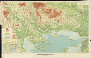
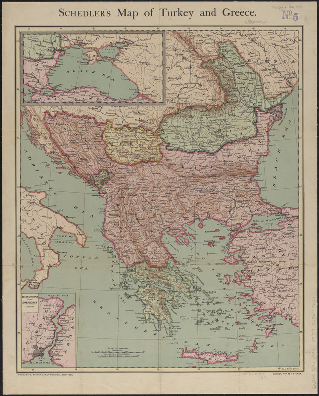
Schedler's map of Turkey and Greece
Item Information
- Title:
- Schedler's map of Turkey and Greece
- Cartographer:
- Schedler, J. (Joseph)
- Publisher:
- E. Steiger & Co.
- Date:
-
1876
- Format:
-
Maps/Atlases
- Location:
-
Boston Public Library
Norman B. Leventhal Map & Education Center - Collection (local):
-
Norman B. Leventhal Map & Education Center Collection
- Subjects:
-
Balkan Peninsula--Maps
Greece--Maps
- Places:
-
Balkan Peninsula (area)
- Extent:
- 1 map : color ; 45 x 38 cm
- Terms of Use:
-
No known copyright restrictions.
No known restrictions on use.
- Publisher:
-
New York :
E. Steiger
- Scale:
-
Scale 1:3,000,000
- Language:
-
English
- Notes:
-
Relief shown by hachures.
Prime meridian: Paris.
Insets: [Black Sea Region] -- Constantinople and the Bosphorus.
- Identifier:
-
06_01_012603
- Call #:
-
G6800 1876 .S34
- Barcode:
-
39999065697623