Toggle navigation
LMEC Home
Exhibitions
Georeferencing
Tools for Teachers
Collections
My Favorites
Sign Up / Log In
Search
Search the map portal
Map Collection
Map Collection
Map Sets
Search
Search
Search for
Search In
All Fields
Creator
Title
Subject
Place
Search All Digital Collections
Advanced Search
8704 Results
My Search
Start Over
More Like
commonwealth:dj530b97m
Remove constraint More Like: commonwealth:dj530b97m
Filter your Search
Place
North and Central America
5,935
United States
4,854
Massachusetts
2,080
Europe
1,396
Suffolk (county)
1,046
Boston
1,019
Canada
449
Asia
438
more
Place
»
Topic
Boston (Mass.)--Maps
586
United States--Maps
282
Real property--Massachusetts--Boston--Maps
175
Massachusetts--Maps
163
Landowners--Massachusetts--Boston--Maps
133
North America--Maps--Early works to 1800
103
New England--Maps
102
Europe--Maps
79
more
Topic
»
Date
Date range begin
–
Date range end
Current results range from
1482
to
2023
View distribution
Creator
United States. Hydrographic Office
595
O.H. Bailey & Co
148
Des Barres, Joseph F. W. (Joseph Frederick Wallet), 1722-1824
123
United States. Post Office Dept
120
Ptolemy, 2nd cent
100
Walling, Henry Francis, 1825-1888
94
Geological Survey (U.S.)
86
Jefferys, Thomas, -1771
85
more
Creator
»
Format
Maps/Atlases
8,644
Manuscripts
221
Prints
56
Books
36
Objects/Artifacts
10
Drawings/Illustrations
8
Posters
5
Georeferenced
Yes
869
No
7,835
Collection
Norman B. Leventhal Map & Education Center Collection
8,694
Boston and New England Maps
2,233
Urban Maps
2,023
Maritime Charts and Atlases
1,083
American Revolutionary War-Era Maps
626
Boston Redevelopment Authority Collection
87
New-York Historical Society Collection
6
William L. Clements Library Collection
4
Available to use
No known restrictions
8,558
Creative Commons license
47
Search Constraints
Sort by relevance
relevance
title
date (asc)
date (desc)
Number of results to display per page
20 per page
10
per page
20
per page
50
per page
100
per page
View results as:
grid view
map view
Search Results
1.
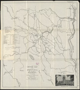
Driving map of Woodstock & vicinity, Vermont
2.
Official highway map of the state of Vermont
3.
Rand McNally official 1924 auto trails map Maine ; Rand McNally official 1924 auto trails map New Hampshire, Vermont
4.
The official map of New York : compiled from United States government surveys, official state surveys, and other sources
5.
Rand McNally official 1920 auto trails map : District number 6 : New England, eastern New York
6.
Road map of the Albany-Troy district
7.
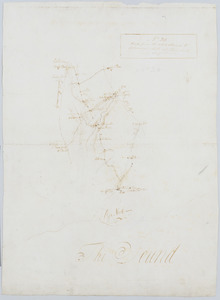
Cross Roads to East Chester, and above : no 19
8.
Distances North River
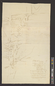
9.
Part of the modern counties of Dutchess, Putnam, and Westchester
10.
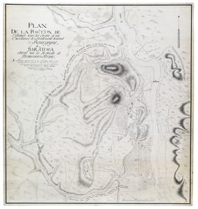
Plan de la position de l'armée sous les ordre de son Excellence le Lieutenant General Bourgoyne à Saratoga etant sur la...
11.
Plan of the roads between Boston and Albany : survey'd by order of the governor in pursuance of a resolution of the General...
12.
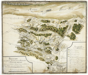
Position de 'larmee Américane et Française a Philips-bourg : distante de 12 milles de Kings-bridge et 25 milles de New-York,...
13.
Road from the White Plains to Bloomer's Mill at Rye Neck, and Cross Roads : no 20
14.
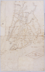
Roads about White Plains : no 59
15.
Southern New York and northern New Jersey
16.
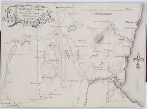
The Winter-Cantonment of the American Army and it's Vicinity for 1783
17.
The 100th anniversary map of Abraham Lincoln's visit to Massachusetts, September 11-23, 1848
18.
1630 shoreline
19.
1879. Progress map of the U.S. Geographical Surveys west of the 100th Meridian : prepared under the direction of 1st Lieut....
20.
1903 Map of Salem and surrounding places
‹ Prev
Next ›
1
2
3
4
5
…
435
436