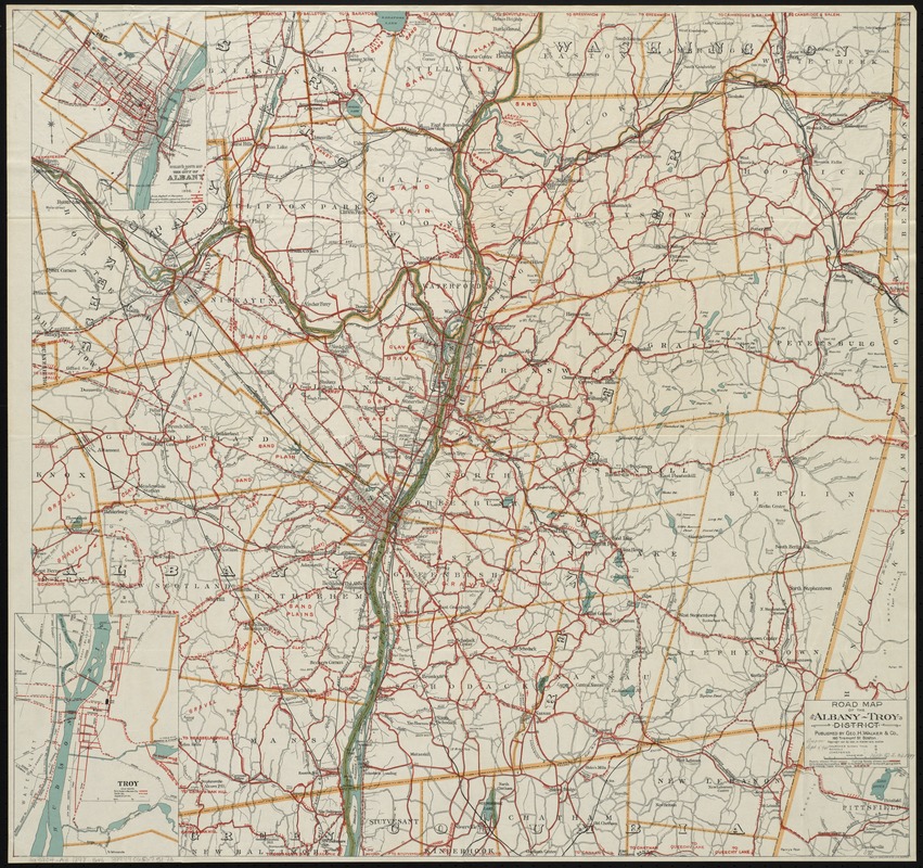
Road map of the Albany-Troy district
Item Information
- Title:
- Road map of the Albany-Troy district
- Creator:
- Geo. H. Walker & Co
- Date:
-
[1898]
- Format:
-
Maps/Atlases
- Location:
-
Boston Public Library
Norman B. Leventhal Map & Education Center - Collection (local):
-
Norman B. Leventhal Map & Education Center Collection
- Subjects:
-
Roads--New York (State)--Maps
Bicycle trails--New York (State)--Maps
Bicycle trails--New York (State)--Albany--Maps
New York (State)--Administrative and political divisions--Maps
New York (State)--Maps
Albany (N.Y.)--Maps
Troy (N.Y.)--Maps
- Places:
-
New YorkAlbany (county)Albany
New YorkRensselaer (county)Troy
- Extent:
- 1 map : col. ; 69 x 72 cm.
- Terms of Use:
-
No known copyright restrictions.
No known restrictions on use.
- Publisher:
-
Boston :
Geo. H. Walker & Co.
- Scale:
-
Scale [ca. 1:96,000]
- Language:
-
English
- Notes:
-
Shows bike routes in red.
Also shows county and town boundaries.
Insets: Cyclist's route map of the City of Albany, 1898 -- Troy.
Includes descriptive text in cover.
- Notes (date):
-
This date is inferred.
- Identifier:
-
06_01_010627
- Call #:
-
G3804.A3 1898 .G46
- Barcode:
-
39999065675173


