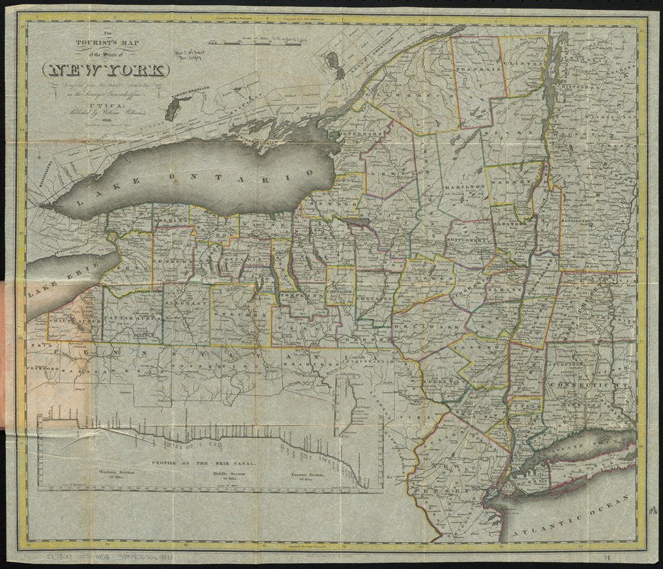
The tourist's map of the state of New York : compiled from the latest authorities in the Surveyor General's office
Item Information
- Title:
- The tourist's map of the state of New York : compiled from the latest authorities in the Surveyor General's office
- Title (alt.):
-
Williams' Map of New-York
- Creator:
- Williams, William, 1787-1850
- Name on Item:
-
engraved by Balch, Stiles & Co.
- Date:
-
1830
- Format:
-
Maps/Atlases
- Location:
-
Boston Public Library
Norman B. Leventhal Map & Education Center - Collection (local):
-
Norman B. Leventhal Map & Education Center Collection
- Subjects:
-
New York (State)--Maps
New York (State)--Administrative and political divisions--Maps
Erie Canal (N.Y.)--Charts, diagrams, etc
Champlain Canal (N.Y.)--Charts, diagrams, etc
- Places:
-
New YorkChamplain Canal
New YorkErie Canal
- Extent:
- 1 map : hand col. ; 46 x 54 cm., folded in cover 14 x 9 cm.
- Terms of Use:
-
No known copyright restrictions.
No known restrictions on use.
- Publisher:
-
Utica :
William Williams
- Scale:
-
Scale [ca. 1:1,140,000]
- Language:
-
English
- Notes:
-
Shows county boundaries.
Prime meridians: Washington and Greenwich.
Inset elevation profiles: Profile of the Erie Canal -- [Profile of the Champlain Canal].
- Identifier:
-
06_01_009868
- Call #:
-
G3800 1830 .W55
- Barcode:
-
39999065664813


