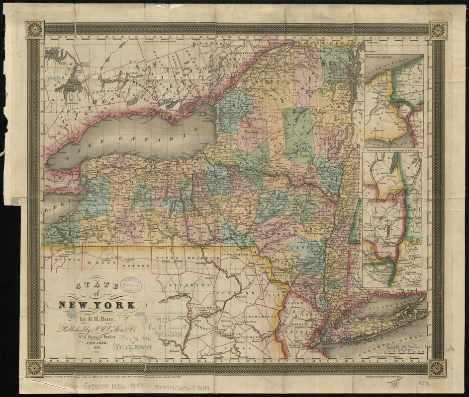
State of New York
Item Information
- Title:
- State of New York
- Creator:
- Burr, David H., 1803-1875
- Name on Item:
-
by D.H. Burr ; engraved & printed by S. Stiles & Co.
- Date:
-
1836
- Format:
-
Maps/Atlases
- Location:
-
Boston Public Library
Norman B. Leventhal Map & Education Center - Collection (local):
-
Norman B. Leventhal Map & Education Center Collection
- Subjects:
-
New York (State)--Maps
New York (State)--Administrative and political divisions--Maps
- Places:
-
New York
- Extent:
- 1 map : col. ; 30 x 37 cm.
- Terms of Use:
-
No known copyright restrictions.
No known restrictions on use.
- Publisher:
-
New York :
Published by J.H. Colton & Co.
- Scale:
-
Scale [ca. 1:1,760,000]
- Language:
-
English
- Notes:
-
Entered according to Act of Congress in the year 1836 by J.H. Colton & Co. in the Clerk's Office of the District Court of the Southern District of New York.
Prime meridians: Greenwich and Washington.
Hand colored to show county boundaries.
Insets: Niagara River -- From Albany to Lake Champlain & L. George.
- Identifier:
-
06_01_010613
- Call #:
-
G3800 1836 .B87
- Barcode:
-
39999065675488


