Toggle navigation
LMEC Home
Exhibitions
Georeferencing
Tools for Teachers
Collections
My Favorites
Sign Up / Log In
Search
Search the map portal
Map Collection
Map Collection
Map Sets
Search
Search
Search for
Search In
All Fields
Creator
Title
Subject
Place
Search All Digital Collections
Advanced Search
8743 Results
My Search
Start Over
More Like
commonwealth:b8516277m
Remove constraint More Like: commonwealth:b8516277m
Filter your Search
Place
North and Central America
5,974
United States
4,888
Massachusetts
2,081
Europe
1,396
Suffolk (county)
1,046
Boston
1,019
Canada
455
Asia
438
more
Place
»
Topic
Boston (Mass.)--Maps
586
United States--Maps
282
Real property--Massachusetts--Boston--Maps
175
Massachusetts--Maps
164
Landowners--Massachusetts--Boston--Maps
133
New England--Maps
109
North America--Maps--Early works to 1800
103
New York (State)--Maps
85
more
Topic
»
Date
Date range begin
–
Date range end
Current results range from
1482
to
2023
View distribution
Creator
United States. Hydrographic Office
595
O.H. Bailey & Co
148
Des Barres, Joseph F. W. (Joseph Frederick Wallet), 1722-1824
123
United States. Post Office Dept
120
Ptolemy, 2nd cent
100
Walling, Henry Francis, 1825-1888
94
Geological Survey (U.S.)
86
Jefferys, Thomas, -1771
85
more
Creator
»
Format
Maps/Atlases
8,683
Manuscripts
223
Prints
56
Books
36
Objects/Artifacts
10
Drawings/Illustrations
8
Posters
5
Georeferenced
Yes
870
No
7,873
Collection
Norman B. Leventhal Map & Education Center Collection
8,694
Boston and New England Maps
2,233
Urban Maps
2,023
Maritime Charts and Atlases
1,083
American Revolutionary War-Era Maps
665
Boston Redevelopment Authority Collection
87
William L. Clements Library Collection
28
American Antiquarian Society Collection
9
more
Collection
»
Available to use
No known restrictions
8,559
Creative Commons license
48
Search Constraints
Sort by relevance
relevance
title
date (asc)
date (desc)
Number of results to display per page
20 per page
10
per page
20
per page
50
per page
100
per page
View results as:
grid view
map view
Search Results
1.
Map of the State of New York
2.
New York
3.
State of New York
4.
The tourist's map of the state of New York : compiled from the latest authorities in the Surveyor General's office
5.
The official map of New York : compiled from United States government surveys, official state surveys, and other sources
6.
Rand McNally official 1920 auto trails map : District number 6 : New England, eastern New York
7.
A map of the state of New York
8.
Plan of the roads between Boston and Albany : survey'd by order of the governor in pursuance of a resolution of the General...
9.
Southern New York and northern New Jersey
10.
Map of the State of New-York exhibiting the several towns and counties together with the population as determined by the census...
11.
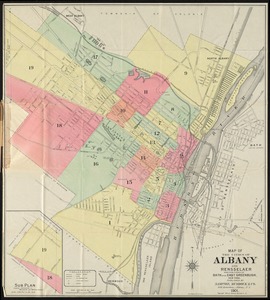
Map of the cities of Albany and Rensselaer and portions of Bath and East Greenbrush, New York
12.
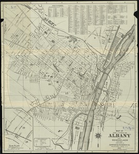
Map of the cities of Albany and Rensselaer, New York
13.
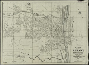
Map of the cities of Albany and Rensselaer, New York
14.
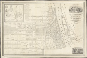
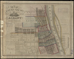
Map of the city of Albany
15.
Map of the city of Albany
16.
Plan of the city of Albany about the year 1770 : from the original survey
17.
Lake Champlain streamline ferries : direct routes to Whiteface Mtn., Ausable Chasm, scenic short-cuts between Green Mountains,...
18.
Connecticut with portions of New York & Rhode Island
19.
E.P. Dutton & Co.'s railroad, steam boat & stage route map of New England, New-York and Canada
20.
Hale's map of the central & western parts of Massachusetts, with a part of New-York
‹ Prev
Next ›
1
2
3
4
5
…
437
438