Toggle navigation
LMEC Home
Exhibitions
Georeferencing
Tools for Teachers
Collections
My Favorites
Sign Up / Log In
Search
Search the map portal
Map Collection
Map Collection
Map Sets
Search
Search
Search for
Search In
All Fields
Creator
Title
Subject
Place
Search All Digital Collections
Advanced Search
8725 Results
My Search
Start Over
More Like
commonwealth:cj82m2267
Remove constraint More Like: commonwealth:cj82m2267
Filter your Search
Place
North and Central America
5,964
United States
4,867
Massachusetts
2,143
Europe
1,392
Suffolk (county)
1,042
Boston
1,015
Canada
449
Asia
437
more
Place
»
Topic
Boston (Mass.)--Maps
586
United States--Maps
279
Massachusetts--Maps
233
Real property--Massachusetts--Boston--Maps
175
Landowners--Massachusetts--Boston--Maps
133
New England--Maps
103
North America--Maps--Early works to 1800
103
Europe--Maps
79
more
Topic
»
Date
Date range begin
–
Date range end
Current results range from
1482
to
2023
View distribution
Creator
United States. Hydrographic Office
595
O.H. Bailey & Co
148
Des Barres, Joseph F. W. (Joseph Frederick Wallet), 1722-1824
123
United States. Post Office Dept
120
Ptolemy, 2nd cent
100
Walling, Henry Francis, 1825-1888
95
Geological Survey (U.S.)
92
Jefferys, Thomas, -1771
85
more
Creator
»
Format
Maps/Atlases
8,664
Manuscripts
217
Prints
56
Books
36
Objects/Artifacts
10
Drawings/Illustrations
8
Posters
5
Ephemera
1
Georeferenced
Yes
880
No
7,845
Collection
Norman B. Leventhal Map & Education Center Collection
8,692
Boston and New England Maps
2,270
Urban Maps
1,993
Maritime Charts and Atlases
1,083
American Revolutionary War-Era Maps
634
Boston Redevelopment Authority Collection
90
Applied Geographics, Inc. Records
21
David Judkins Weaver Papers
19
more
Collection
»
Available to use
No known restrictions
8,550
Creative Commons license
51
Search Constraints
Sort by relevance
relevance
title
date (asc)
date (desc)
Number of results to display per page
20 per page
10
per page
20
per page
50
per page
100
per page
View results as:
grid view
map view
Search Results
161.
Route of the proposed Providence & Worcester rail-road
162.
Route of the Providence and Worcester rail road
163.
Russell's map of Massachusetts
164.
A sectional map of Massachusetts, engraved expressly for Chapin's farm advertiser, 1871 : including the proposed Massachusetts...
165.
Skeleton map of rail-roads between Cape Canso and St. Louis
166.
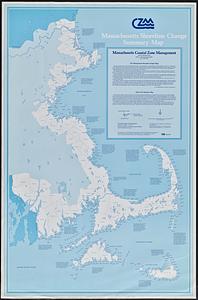
Sketch of the states of Massachusetts, Connecticut, and Rhode Island, and parts of New Hampshire & New York exhibiting the...
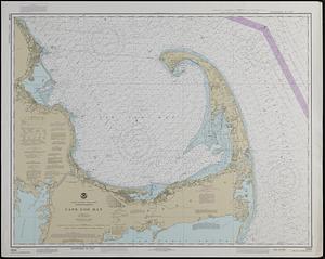
167.
Sketch of the states of Massachusetts, Connecticut, and Rhode Island, and parts of New Hampshire & New York exhibiting the...
168.
The state of Massachusetts : compiled from the best authorities
169.
Suburban Boston teachers are the highest earners
170.
Suburban Boston teachers are the lowest earners
171.
Ten miles around Lynn
172.
Topographic map of Massachusetts and Rhode Island
173.
Topographical map of the State of Massachusetts
174.
Tri-state trolley map showing Boston & Northern and Old Colony Street Railway Companies' systems and connecting lines
175.
A type-ology of population in Massachusetts
176.
Western Massachusetts closed to the public
177.
Western Massachusetts open space abounds
178.
Massachusetts shoreline change summary map
179.
United States--east coast, Massachusetts, Cape Cod Bay
180.
Sketch A showing the progress of the survey in section no. 1 from 1844 to 1881
‹ Prev
Next ›
1
2
…
5
6
7
8
9
10
11
12
13
…
436
437