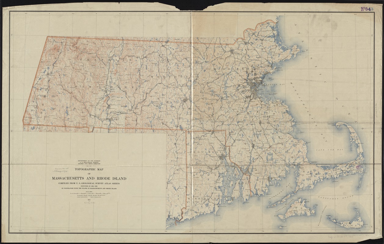
Topographic map of Massachusetts and Rhode Island
Item Information
- Title:
- Topographic map of Massachusetts and Rhode Island
- Creator:
- Geological Survey (U.S.)
- Name on Item:
-
compiled from U.S. Geological Survey atlas sheets ; surveyed in 1884-1888 in cooperation with the states of Massachusetts and Rhode Island.
- Date:
-
1915
- Format:
-
Maps/Atlases
- Location:
-
Boston Public Library
Norman B. Leventhal Map & Education Center - Collection (local):
-
Norman B. Leventhal Map & Education Center Collection
- Subjects:
-
Massachusetts--Maps
Rhode Island--Maps
- Places:
-
Massachusetts
Rhode Island
- Extent:
- 1 map : col. ; 75 x 125 cm.
- Terms of Use:
-
No known copyright restrictions.
No known restrictions on use.
- Publisher:
-
Washington D.C :
[The Survey]
- Scale:
-
Scale 1:250,000
- Language:
-
English
- Notes:
-
Relief shown by contours.
- Identifier:
-
06_01_008703
- Call #:
-
G3761.C2 1888 .G46
- Barcode:
-
39999065656843


