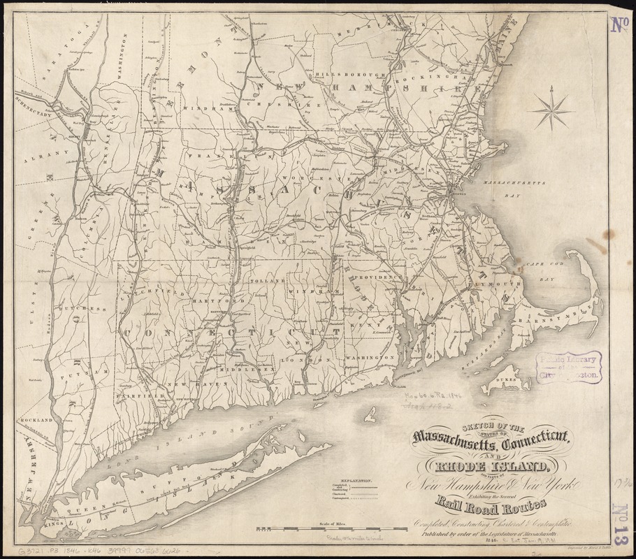
Sketch of the states of Massachusetts, Connecticut, and Rhode Island, and parts of New Hampshire & New York exhibiting the several rail road routes completed, constructing, chartered & contemplated
Item Information
- Title:
- Sketch of the states of Massachusetts, Connecticut, and Rhode Island, and parts of New Hampshire & New York exhibiting the several rail road routes completed, constructing, chartered & contemplated
- Description:
-
General map showing drainage, cities, towns, state and county boundaries.
- Creator:
- Kennedy, Archibald, active 1850
- Date:
-
1846
- Format:
-
Maps/Atlases
- Location:
-
Boston Public Library
Norman B. Leventhal Map & Education Center - Collection (local):
-
Norman B. Leventhal Map & Education Center Collection
- Subjects:
-
Railroads--New England--Maps
Railroads--Connecticut--Maps
Railroads--Massachusetts--Maps
Railroads--Rhode Island--Maps
Connecticut--Maps
Massachusetts--Maps
Rhode Island--Maps
New England--Maps
- Places:
-
Massachusetts
New England (area)
Rhode Island
Connecticut
- Extent:
- 1 map ; 46 x 52 cm.
- Terms of Use:
-
No known copyright restrictions.
No known restrictions on use.
- Publisher:
-
[Boston] :
Legislature of Massachusetts
- Scale:
-
Scale [ca. 1:680,000]
- Language:
-
English
- Identifier:
-
06_01_011533
- Call #:
-
G3721.P3 1846 .K46
- Barcode:
-
39999065686626
- LCCN:
-
98688375


