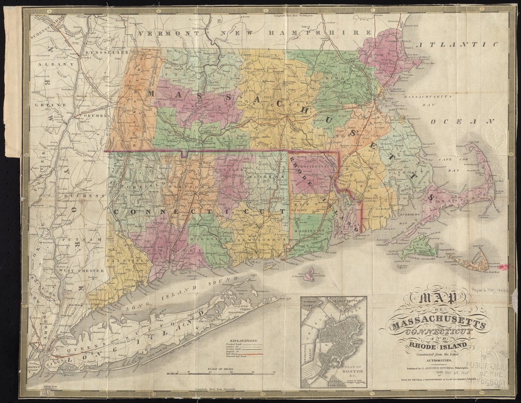
Map of Massachusetts, Connecticut and Rhode Island constructed from the latest authorities
Item Information
- Title:
- Map of Massachusetts, Connecticut and Rhode Island constructed from the latest authorities
- Date:
-
1843
- Format:
-
Maps/Atlases
- Location:
-
Boston Public Library
Norman B. Leventhal Map & Education Center - Collection (local):
-
Norman B. Leventhal Map & Education Center Collection
- Subjects:
-
Railroads--Massachusetts--Maps
Railroads--Connecticut--Maps
Railroads--Rhode Island--Maps
Massachusetts--Maps
Connecticut--Maps
Rhode Island--Maps
- Places:
-
Massachusetts
Rhode Island
Connecticut
- Extent:
- 1 map : hand col. ; 42 x 54 cm.
- Terms of Use:
-
No known copyright restrictions.
No known restrictions on use.
- Publisher:
-
Philadelphia :
S. Augustus Mitchell
- Scale:
-
Scale [ca. 1:650,000]
- Language:
-
English
- Notes:
-
Relief shown pictorially.
Prime meridians: Washington and Greenwich.
Inset: Plan of Boston &c.
- Identifier:
-
06_01_008700
- Call #:
-
G3760 1843 .M37x
- Barcode:
-
39999065656819


