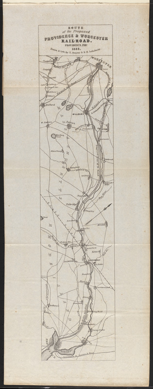
Route of the proposed Providence & Worcester rail-road
Item Information
- Title:
- Route of the proposed Providence & Worcester rail-road
- Contributor:
- Providence and Worcester Railroad Company
- Contributor:
- Rhode Island
- Contributor:
- Massachusetts
- Cartographer:
- Atwater, S.
- Cartographer:
- Schubarht, N.B.
- Name on Item:
-
drawn & lith. by S. Atwater & N.B. Schubarht
- Date:
-
1844
- Format:
-
Maps/Atlases
- Location:
-
Boston Public Library
Norman B. Leventhal Map & Education Center - Collection (local):
-
Norman B. Leventhal Map & Education Center Collection
- Subjects:
-
Providence and Worcester Railroad Company--Maps
Railroads--Rhode Island--Maps
Railroads--Massachusetts--Maps
Rhode Island--Maps
Massachusetts--Maps
Providence and Worcester Railroad Company
- Places:
-
Rhode Island
Massachusetts
- Extent:
- 1 map ; 53 x 12 cm
- Terms of Use:
-
No known copyright restrictions.
No known restrictions on use.
- Publisher:
-
[Providence?, R.I.] :
[publisher not identified]
- Scale:
-
Scale approximately 1:130,000
- Language:
-
English
- Notes:
-
Relief shown by hachures.
Oriented with north to the upper right.
Folded map in "Charters of the Providence and Worcester Rail Road Company."
- Identifier:
-
06_01_016167
- Call #:
-
HE2791 .P922 1844a
- Barcode:
-
30000006378484


