Search Constraints
Search Results
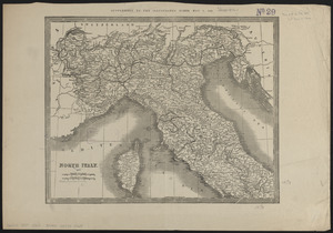
5483. North Italy
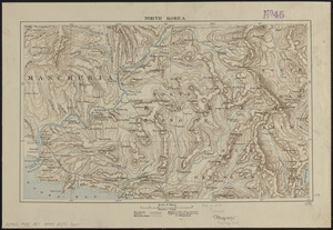
5484. North Korea
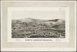
5485. North Leominster, Mass
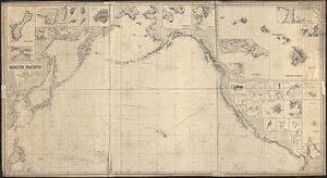
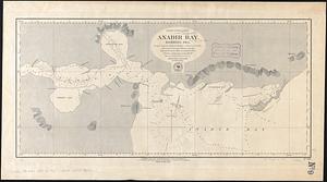
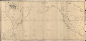
5486. North Pacific
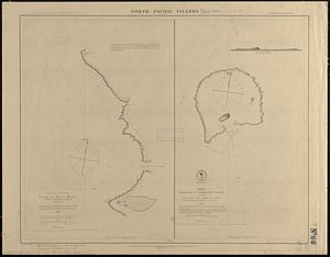
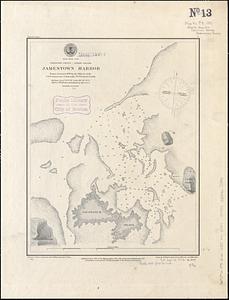
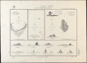
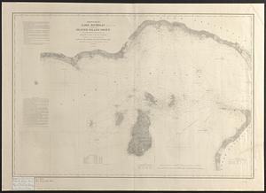
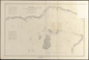
5487. North Pacific islands

5488. North Pacific Islands
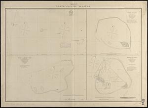
5489. North Pacific islands
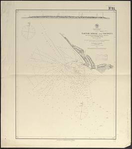
5490. North Pacific Ocean