Search Constraints
Search Results
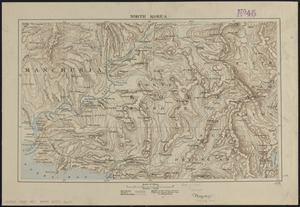
5521. North Korea
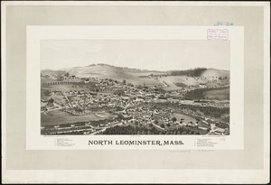
5522. North Leominster, Mass
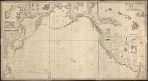
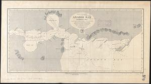
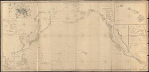
5523. North Pacific
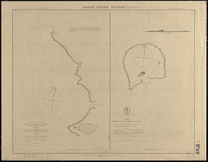
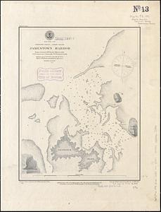
5524. North Pacific islands

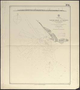
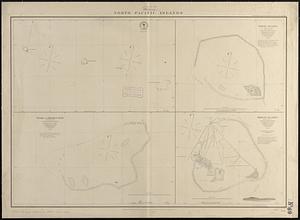
5525. North Pacific Islands
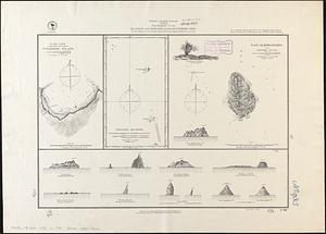
5526. North Pacific islands
5527. North Pacific Ocean