Search Constraints
Search Results
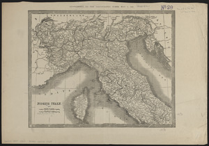
5541. North Italy
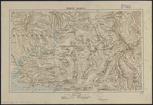
5542. North Korea
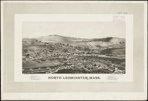
5543. North Leominster, Mass
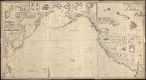
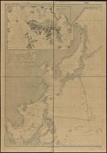
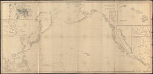
5544. North Pacific
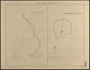
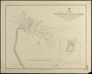
5545. North Pacific islands

5546. North Pacific Islands
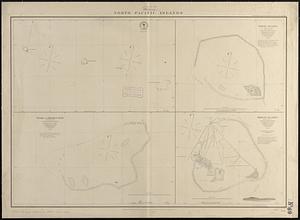
5547. North Pacific islands
5548. North Pacific Ocean