Search Constraints
Search Results
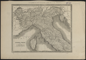
5742. North Italy
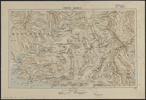
5743. North Korea
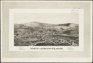
5744. North Leominster, Mass
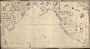
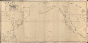
5745. North Pacific
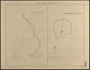
5746. North Pacific islands

5747. North Pacific Islands
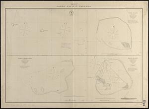
5748. North Pacific islands
5749. North Pacific Ocean