Toggle navigation
LMEC Home
Exhibitions
Georeferencing
Tools for Teachers
Collections
My Favorites
Sign Up / Log In
Search
Search the map portal
Map Collection
Map Collection
Map Sets
Search
Search
Search for
Search In
All Fields
Creator
Title
Subject
Place
Search All Digital Collections
Advanced Search
8185 Results
My Search
Start Over
More Like
commonwealth:4m90fd842
Remove constraint More Like: commonwealth:4m90fd842
Filter your Search
Place
North and Central America
4,934
United States
3,619
Suffolk (county)
1,026
Boston
999
Europe
963
Canada
427
France
269
Massachusetts
249
more
Place
»
Topic
Boston (Mass.)--Maps
574
United States--Maps
270
Real property--Massachusetts--Boston--Maps
174
Massachusetts--Maps
160
Landowners--Massachusetts--Boston--Maps
132
North America--Maps--Early works to 1800
103
New England--Maps
99
Europe--Maps
78
more
Topic
»
Date
Date range begin
–
Date range end
Current results range from
1482
to
2023
View distribution
Creator
United States. Hydrographic Office
357
O.H. Bailey & Co
148
Des Barres, Joseph F. W. (Joseph Frederick Wallet), 1722-1824
123
United States. Post Office Dept
120
Ptolemy, 2nd cent
100
Walling, Henry Francis, 1825-1888
94
Jefferys, Thomas, -1771
85
Geological Survey (U.S.)
82
more
Creator
»
Format
Maps/Atlases
8,126
Manuscripts
215
Prints
51
Books
36
Objects/Artifacts
10
Drawings/Illustrations
8
Posters
4
Georeferenced
Yes
869
No
7,316
Collection
Norman B. Leventhal Map Center Collection
8,163
Boston and New England Maps
2,184
Urban Maps
1,925
Maritime Charts and Atlases
750
American Revolutionary War-Era Maps
638
Boston Redevelopment Authority Collection
86
William L. Clements Library Collection
17
American Antiquarian Society Collection
5
Available to use
No known restrictions
8,022
Creative Commons license
46
Search Constraints
Sort by relevance
relevance
title
date (asc)
date (desc)
Number of results to display per page
20 per page
10
per page
20
per page
50
per page
100
per page
View results as:
grid view
map view
Search Results
21.
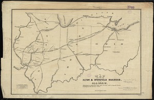
Map of the Alton & Springfield railroad, in Illinois : showing its connection with other roads and proposed roads leading to...
22.
Map of West Virginia showing railroads and county products
23.
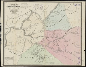
Map of the oil district of West Virginia
24.
Map of West Virginia showing coal, oil, gas and limestone areas
25.
State of West Virginia and part of Maryland : coal fields and producing districts
26.
State of West Virginia, stations and transmission lines used in public service in 1921
27.
Being a cartograph of Ohio : the oldest state west of the thirteen original colonies; now the fourth state in the Union in...
28.
Geologic map of Ohio
29.
A geological map of Ohio
30.
A map of part of the N:W: Territory of the United States : compiled from actual surveys, and the best information
31.
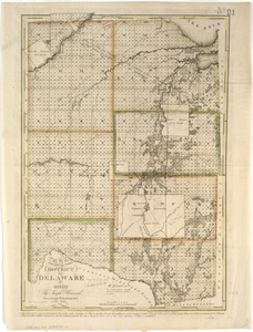
Map of the district of Delaware in Ohio
32.
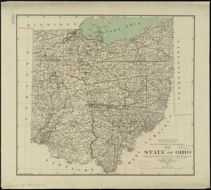
Map of the state of Ohio
33.
Map of the states of Ohio, Indiana and Illinois with the settled parts of Michigan & Wisconsin
34.
Plat of the seven ranges of townships being part of the territory of the United States n.w. of the Ohio River which by a late...
35.
State of Ohio
36.
State of Ohio coal fields and producing districts
37.
The tourist's pocket map of the state of Ohio : exhibiting its internal improvements, roads, distances &c
38.
The two routes surveyed for the National Road from Springfield to Richmond, 1835 : reduced from the original survey of Captain...
39.
Bacon's Map of the seat of war in Virginia : showing minutely the interesting localities in the vicinity of Richmond
40.
Coast of North Carolina & Virginia
‹ Prev
Next ›
1
2
3
4
5
6
…
409
410