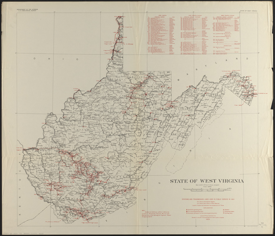
State of West Virginia, stations and transmission lines used in public service in 1921
Item Information
- Title:
- State of West Virginia, stations and transmission lines used in public service in 1921
- Contributor:
- Thomas, G. D. (Cartographer)
- Cartographer:
- Hassan, A. F.
- Publisher:
- Geological Survey (U.S.)
- Contributor:
- West Virginia. Public Service Commission
- Name on Item:
-
location of stations and transmission lines compiled by G.D. Thomas ; base compiled in 1914 by A.F. Hassan ; Department of the Interior, U.S. Geological Survey
- Date:
-
1922
- Format:
-
Maps/Atlases
- Location:
-
Boston Public Library
Norman B. Leventhal Map & Education Center - Collection (local):
-
Norman B. Leventhal Map & Education Center Collection
- Subjects:
-
Electric lines--West Virginia--Maps
Electric power--West Virginia--Maps
Power-plants--West Virginia--Maps
West Virginia--Maps
- Places:
-
West Virginia
- Extent:
- 1 map : color ; 78 x 88 cm
- Terms of Use:
-
No known copyright restrictions.
No known restrictions on use.
- Publisher:
-
[Washington, D.C.] :
[U.S. Geological Survey]
- Scale:
-
Scale 1:500,000
- Language:
-
English
- Notes:
-
Includes list of electric power companies.
- Identifier:
-
06_01_014699
- Call #:
-
G3891.N4 1922 .T5
- Barcode:
-
39999065704205


