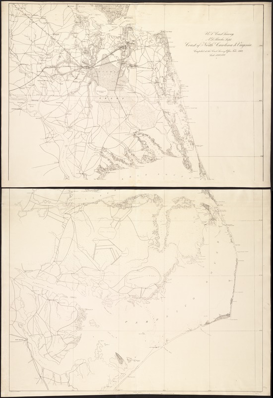
Coast of North Carolina & Virginia
Item Information
- Title:
- Coast of North Carolina & Virginia
- Creator:
- Lindenkohl, A.
- Name on Item:
-
compiled at the Coast Survey Office, Febr. 1862 ; Drawn by A. Lindenkohl ; Lith. by H. Lindenkohl.
- Date:
-
[1862]
- Format:
-
Maps/Atlases
- Location:
-
Boston Public Library
Norman B. Leventhal Map & Education Center - Collection (local):
-
Norman B. Leventhal Map & Education Center Collection
- Subjects:
-
Coasts--North Carolina--Maps
Coasts--Virginia--Maps
Virginia--Maps
North Carolina--Maps
- Places:
-
Virginia
North Carolina
- Extent:
- 1 map on 2 sheets ; 124 x 84 cm, sheets 69 x 89 cm.
- Terms of Use:
-
No known copyright restrictions.
No known restrictions on use.
- Publisher:
-
Washington, D.C :
U.S. Coast Survey
- Scale:
-
Scale 1:200,000.
- Language:
-
English
- Notes:
-
At head of title: U.S. Coast Survey, A.D. Bache, Supt.
Map of the coast from Hampton, Virginia, to Old Cedar Inlet, North Carolina, showing roads, railroads, rivers and streams, and place names. Soundings are not given.
Northwestern corner of the northern sheet is blank.
Description derived from published bibliography.
- Notes (date):
-
This date is inferred.
- Identifier:
-
06_01_006859
- Call #:
-
G3902.C6 1862 .L56
- Barcode:
-
39999059028785
- LCCN:
-
99447449


