Middle Virginia and North Carolina
Item Information
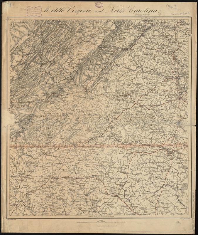
- Title:
- Middle Virginia and North Carolina
- Creator:
- United States Coast Survey
- Name on Item:
-
compiled at the U.S. Coast Survey Office, drawn by H. Lindenkohl ; Chas. G. Krebs, lith.
- Date:
-
[1864]
- Format:
-
Maps/Atlases
- Location:
-
Boston Public Library
Norman B. Leventhal Map & Education Center - Collection (local):
-
Norman B. Leventhal Map & Education Center Collection
- Subjects:
-
Virginia--Maps
North Carolina--Maps
- Places:
-
Virginia
North Carolina
- Extent:
- 1 map : col. ; 52 x 47 cm.
- Terms of Use:
-
No known copyright restrictions.
No known restrictions on use.
- Publisher:
-
[Washington, D.C.] :
The Survey
- Scale:
-
Scale [1:633,600]. 1 in. = 10 miles
- Language:
-
English
- Notes:
-
Relief shown by shading.
- Notes (date):
-
This date is inferred.
- Identifier:
-
06_01_008751
- Call #:
-
G3880 1864 .U55
- Barcode:
-
39999065656371


