Toggle navigation
LMEC Home
Exhibitions
Georeferencing
Tools for Teachers
Collections
My Favorites
Sign Up / Log In
Search
Search the map portal
Map Collection
Map Collection
Map Sets
Search
Search
Search for
Search In
All Fields
Creator
Title
Subject
Place
Search All Digital Collections
Advanced Search
8715 Results
My Search
Start Over
More Like
commonwealth:3f463137m
Remove constraint More Like: commonwealth:3f463137m
Filter your Search
Place
North and Central America
5,946
United States
4,858
Massachusetts
2,079
Europe
1,396
Suffolk (county)
1,046
Boston
1,019
Canada
449
Asia
438
more
Place
»
Topic
Boston (Mass.)--Maps
586
United States--Maps
282
Real property--Massachusetts--Boston--Maps
175
Massachusetts--Maps
162
Landowners--Massachusetts--Boston--Maps
133
North America--Maps--Early works to 1800
103
New England--Maps
102
Europe--Maps
79
more
Topic
»
Date
Date range begin
–
Date range end
Current results range from
1482
to
2023
View distribution
Creator
United States. Hydrographic Office
595
O.H. Bailey & Co
148
Des Barres, Joseph F. W. (Joseph Frederick Wallet), 1722-1824
126
United States. Post Office Dept
120
Ptolemy, 2nd cent
100
Walling, Henry Francis, 1825-1888
94
Geological Survey (U.S.)
86
Jefferys, Thomas, -1771
85
more
Creator
»
Format
Maps/Atlases
8,655
Manuscripts
218
Prints
56
Books
36
Objects/Artifacts
10
Drawings/Illustrations
8
Posters
5
Georeferenced
Yes
869
No
7,846
Collection
Norman B. Leventhal Map & Education Center Collection
8,694
Boston and New England Maps
2,233
Urban Maps
2,024
Maritime Charts and Atlases
1,082
American Revolutionary War-Era Maps
636
Boston Redevelopment Authority Collection
87
MacLean Collection Map Library
9
Harvard Map Collection
3
more
Collection
»
Available to use
No known restrictions
8,552
Creative Commons license
59
Search Constraints
Sort by relevance
relevance
title
date (asc)
date (desc)
Number of results to display per page
20 per page
10
per page
20
per page
50
per page
100
per page
View results as:
grid view
map view
Search Results
41.
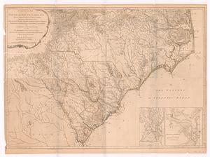
An accurate map of North and South Carolina with their Indian frontiers, shewing in a distinct manner all the mountains,...
42.
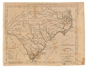
Map of North and South Carolina
43.
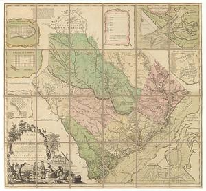
A map of the province of South Carolina with all the rivers, creeks, bays, inletts, islands, inland navigation, soundings, time...
44.
A map of the seat of war in the southern part of Virginia, North Carolina, and the northern part of South Carolina
45.
Partie meridionale des possessions angloise en Amerique
46.
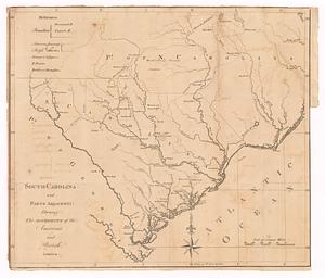
South-Carolina and parts adjacent : shewing the movements of the American and British armies
47.
The 100th anniversary map of Abraham Lincoln's visit to Massachusetts, September 11-23, 1848
48.
1630 shoreline
49.
1879. Progress map of the U.S. Geographical Surveys west of the 100th Meridian : prepared under the direction of 1st Lieut....
50.
1903 Map of Salem and surrounding places
51.
19th annual convention of the National Association of Real Estate Boards : at Tulsa, June 7 to June 11 in 1926
52.
2005 significant U.S. hurricane strikes
53.
The 2100 project : an atlas for the Green New Deal
54.
227 Harzgerode
55.
305 Glatz
56.
38,000,000 escaped -- 10,000,000 died
57.
4 Kinten
58.
660 Wakulah St., Roxbury
59.
74 miles on the ocean scenic highway U.S. 1
60.
[A chart of Boston Bay and vicinity]
‹ Prev
Next ›
1
2
3
4
5
6
7
…
435
436


![[A chart of Boston Bay and vicinity]](https://bpldcassets.blob.core.windows.net/derivatives/images/commonwealth:cj82m2976/image_thumbnail_300.jpg)