Toggle navigation
LMEC Home
Exhibitions
Georeferencing
Tools for Teachers
Collections
My Favorites
Sign Up / Log In
Search
Search the map portal
Map Collection
Map Collection
Map Sets
Search
Search
Search for
Search In
All Fields
Creator
Title
Subject
Place
Search All Digital Collections
Advanced Search
8768 Results
My Search
Start Over
More Like
commonwealth:3f4630649
Remove constraint More Like: commonwealth:3f4630649
Filter your Search
Place
North and Central America
5,999
United States
4,903
Massachusetts
2,151
Europe
1,396
Suffolk (county)
1,047
Boston
1,020
Canada
450
Asia
438
more
Place
»
Topic
Boston (Mass.)--Maps
590
United States--Maps
282
Massachusetts--Maps
235
Real property--Massachusetts--Boston--Maps
175
Landowners--Massachusetts--Boston--Maps
133
New England--Maps
104
North America--Maps--Early works to 1800
103
Europe--Maps
79
more
Topic
»
Date
Date range begin
–
Date range end
Current results range from
1482
to
2023
View distribution
Creator
United States. Hydrographic Office
595
O.H. Bailey & Co
148
Des Barres, Joseph F. W. (Joseph Frederick Wallet), 1722-1824
123
United States. Post Office Dept
120
Ptolemy, 2nd cent
100
Walling, Henry Francis, 1825-1888
95
Geological Survey (U.S.)
92
Jefferys, Thomas, -1771
85
more
Creator
»
Format
Maps/Atlases
8,707
Manuscripts
217
Prints
56
Books
36
Objects/Artifacts
10
Drawings/Illustrations
8
Posters
5
Ephemera
1
Georeferenced
Yes
879
No
7,889
Collection
Norman B. Leventhal Map & Education Center Collection
8,737
Boston and New England Maps
2,279
Urban Maps
2,024
Maritime Charts and Atlases
1,083
American Revolutionary War-Era Maps
635
Boston Redevelopment Authority Collection
90
Applied Geographics, Inc. Records
20
David Judkins Weaver Papers
18
more
Collection
»
Available to use
No known restrictions
8,595
Creative Commons license
51
Search Constraints
Sort by relevance
relevance
title
date (asc)
date (desc)
Number of results to display per page
20 per page
10
per page
20
per page
50
per page
100
per page
View results as:
grid view
map view
Search Results
4341.
Map of the Peloponnese during the Peloponnesian War
4342.
Map of the Philippine Islands and Sulu Archipelago
4343.
Map of the principal part of Boston, and adjacent cities, for 1873
4344.
A map of the principall part of Europe
4345.
Map of the proposed town of Beverly Farms, Mass : presented by the Petitioners
4346.
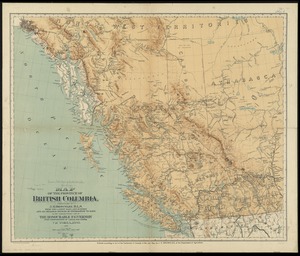
Map of the province of British Columbia
4347.
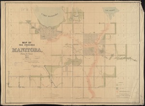
Map of the province of Manitoba, shewing the surveys effected in 1871
4348.
A map of the province of Massachusets Bay and colony of Rhode Island, with part of Connecticut, New Hampshire, and Vermont
4349.
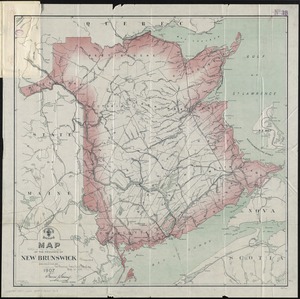
Map of the province of New Brunswick
4350.
Map of the province of Nova Scotia including Cape Breton Prince Edwards Island and part of New Brunswick
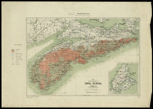
4351.
Map of the province of Nova Scotia to illustrate report by E.R. Faribault, B.A. Sc. on the "Gold fields of Nova Scotia"
4352.
A map of the province of Upper Canada, describing all the new settlements, townships, & cc. with the countries adjacent, from...
4353.
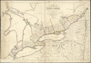
Map of the province of Upper Canada shewing the organized part thereof and the adjacent county
4354.
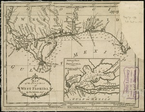
Map of the province of West Florida
4355.
A map of the provinces of New-York and New Jersey, with a part of Pennsylvania and the Province of Quebec
4356.
Map of the provinces of upper & lower Canada with the adjacent parts of the United States of America, &c
4357.
Map of the public land states and territories : constructed from the Public Surveys and other official sources in the General...
4358.
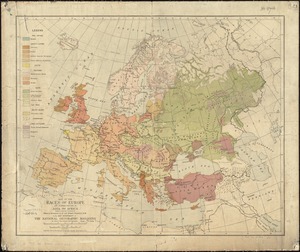
Map of the races of Europe and adjoining portions of Asia and Africa
4359.
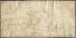
Map of the Raïan Basin
4360.
Map of the rail roads of New Jersey 1887
‹ Prev
Next ›
1
2
…
214
215
216
217
218
219
220
221
222
…
438
439