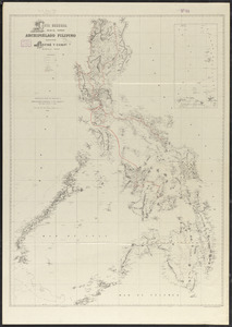
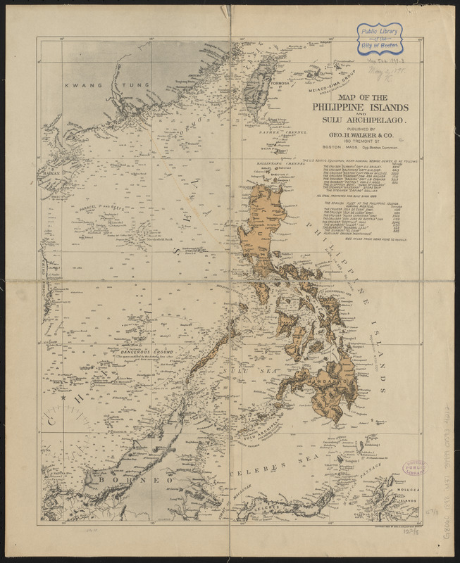
Map of the Philippine Islands and Sulu Archipelago
Item Information
- Title:
- Map of the Philippine Islands and Sulu Archipelago
- Publisher:
- Geo. H. Walker & Co.
- Date:
-
1898
- Format:
-
Maps/Atlases
- Location:
-
Boston Public Library
Norman B. Leventhal Map & Education Center - Collection (local):
-
Norman B. Leventhal Map & Education Center Collection
- Subjects:
-
Philippines--Maps
- Places:
-
Philippines
- Extent:
- 1 map : color ; 41 x 33 cm
- Terms of Use:
-
No known copyright restrictions.
No known restrictions on use.
- Publisher:
-
Boston, Mass. :
Geo. H. Walker & Co.
- Scale:
-
Scale approximately 1:7,000,000
- Language:
-
English
- Notes:
-
Relief shown by hachures and spot heights. Depths shown by soundings.
Includes list of ships stationed in the Philippines.
- Identifier:
-
06_01_015296
- Call #:
-
G8060 1898 .M372
- Barcode:
-
39999085934212