Toggle navigation
LMEC Home
Exhibitions
Georeferencing
Tools for Teachers
Collections
My Favorites
Sign Up / Log In
Search
Search the map portal
Map Collection
Map Collection
Map Sets
Search
Search
Search for
Search In
All Fields
Creator
Title
Subject
Place
Search All Digital Collections
Advanced Search
8234 Results
My Search
Start Over
More Like
commonwealth:0r96fn93f
Remove constraint More Like: commonwealth:0r96fn93f
Filter your Search
Place
North and Central America
4,969
United States
3,804
Suffolk (county)
1,027
Boston
999
Europe
963
Canada
442
France
269
Massachusetts
258
more
Place
»
Topic
Boston (Mass.)--Maps
574
United States--Maps
314
Real property--Massachusetts--Boston--Maps
174
Massachusetts--Maps
160
Landowners--Massachusetts--Boston--Maps
132
North America--Maps--Early works to 1800
103
New England--Maps
99
Manuscript maps
84
more
Topic
»
Date
Date range begin
–
Date range end
Current results range from
1482
to
2023
View distribution
Creator
United States. Hydrographic Office
357
O.H. Bailey & Co
148
Des Barres, Joseph F. W. (Joseph Frederick Wallet), 1722-1824
123
United States. Post Office Dept
120
Ptolemy, 2nd cent
100
Walling, Henry Francis, 1825-1888
94
Jefferys, Thomas, -1771
84
Geological Survey (U.S.)
83
more
Creator
»
Format
Maps/Atlases
8,175
Manuscripts
241
Prints
52
Books
36
Objects/Artifacts
10
Drawings/Illustrations
8
Posters
4
Georeferenced
Yes
871
No
7,363
Collection
Norman B. Leventhal Map Center Collection
8,175
Boston and New England Maps
2,184
Urban Maps
1,925
Maritime Charts and Atlases
750
American Revolutionary War-Era Maps
675
Boston Redevelopment Authority Collection
86
Library of Congress Collection
22
American Antiquarian Society Collection
20
more
Collection
»
Available to use
No known restrictions
8,029
Creative Commons license
74
Search Constraints
Sort by relevance
relevance
title
date (asc)
date (desc)
Number of results to display per page
100 per page
10
per page
20
per page
50
per page
100
per page
View results as:
grid view
map view
Search Results
201.
Oil in America : a pictorial story of the petroleum industry in the United States
202.
Paul Sample's America, its soil
203.
Phelps & Ensign's travellers' guide, and map of the United States, containing the roads, distances, steam boat and canal routes &c
204.
Phelps & Ensign's travellers' guide, and map of the United States, containing the roads, distances, steam boat and canal routes &c
205.
Phelps & Watson's new map of the United States
206.
Pictorial map of the United States, 1849
207.
The pictorial map, stamps of America
208.
The pictorial map, stamps of the U.S.A.
209.
The pictorial map, United States stamps
210.
Portugal is not a small country
211.
Presidential and other elections, 1800
212.
Presidential and other elections, 1804
213.
Presidential and other elections, 1808
214.
Presidential and other elections, 1812
215.
Presidential and other elections, 1816
216.
Presidential election 1820
217.
Presidential election 1824
218.
Presidential election 1828
219.
Presidential election 1832
220.
Presidential election 1836
221.
Presidential election 1840
222.
Presidential election 1844
223.
Presidential election 1848
224.
Presidential election 1852
225.
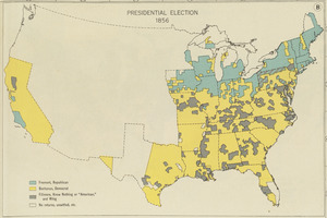
Presidential election 1856
226.
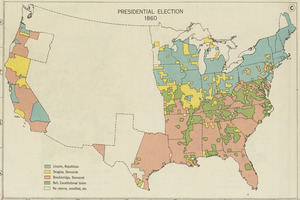
Presidential election 1860
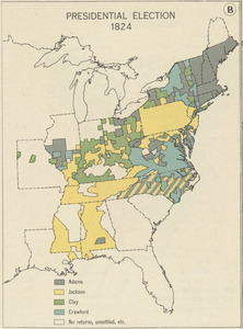
227.
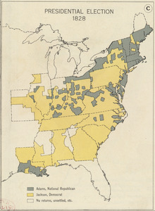
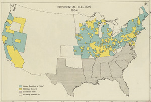
Presidential election 1864
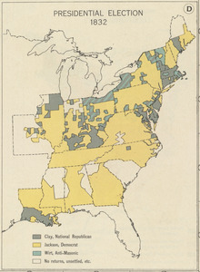
228.
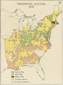
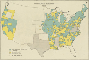
Presidential election 1868
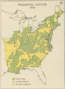
229.
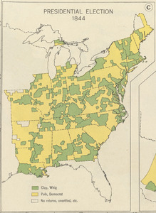
Presidential election 1872
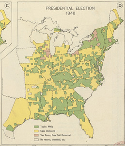
230.
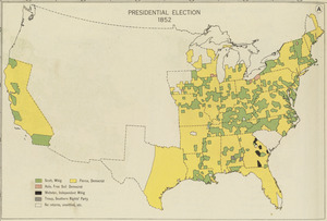
Presidential election 1876
231.
Presidential election 1880
232.
Presidential election 1884
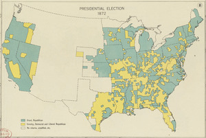
233.
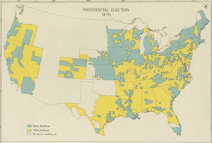
Presidential election 1888
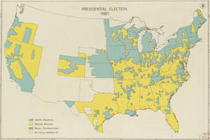
234.
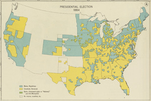
Presidential election 1892
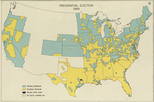
235.
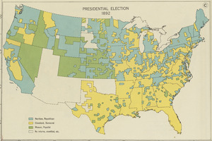
Presidential election 1896
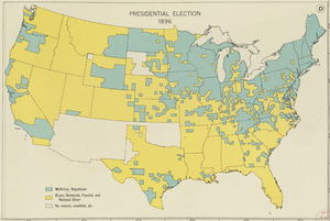
236.
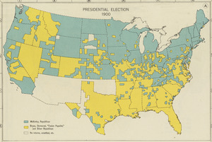
Presidential election 1900
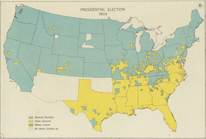
237.
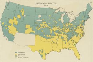
Presidential election 1904
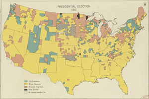
238.
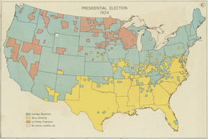
Presidential election 1908
239.
Presidential election 1912
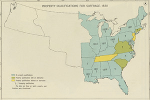
240.
Presidential election 1924
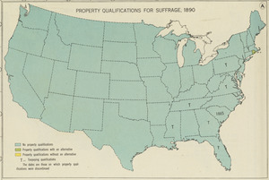
241.
Property qualifications for suffrage, 1775
242.
Property qualifications for suffrage, 1800
243.
Property qualifications for suffrage, 1830
244.
Property qualifications for suffrage, 1860
245.
Property qualifications for suffrage, 1890
246.
Property qualifications for suffrage, 1920
247.
Public lands of the United States, 1850
248.
Public lands of the United States, 1870
249.
Public lands of the United States, 1890
250.
Public lands of the United States, 1910
251.
P.W.A. and industry : how benefits are spread
252.
P.W.A. in action
253.
PWA rebuilds the nation
254.
Radio map of the United States
255.
Rail road map of the southern states shewing the southern & southwestern railway connections with Philadelphia
256.
Railroad distance map of the United States, Mexico & Canada
257.
Rainfall-chart of the United States : showing the distribution by isohyetal curves of the mean precipitation in rain ...
258.
Rambles through our country : an instructive geographical game for the young
259.
Rand McNally & Co's new commercial map of Europe
260.
Rand McNally & Co's new railroad and county map of the United States and Dominion of Canada
261.
Reconstruction Act, March 2, 1867, Vote on passage over President's veto
262.
Los recursos de los Estados Unidos
263.
Relief map of Canada and the United States
264.
Rock Island-Frisco lines and Chicago & Eastern Illinois R.R : traverse the richest and most prosperous commonwealths in the Union
265.
Schonberg's imperial map of the United States and Canada : constructed, drawn and compiled from the latest and best authorities...
266.
Skeleton map of rail-roads between Cape Canso and St. Louis
267.
Skeleton map showing the rail roads completed and in progress in the United States and their connection as proposed with the...
268.
The southwestern railroad system United States and Mexico
269.
Sportsmen's fishing map of the United States and neighboring waters
270.
Staaten am Atlantischen Ocean
271.
Tackabury's map of United States
272.
Temperature chart of the United States : showing the distribution by isothermal curves of the mean annual temperature of the...
273.
Territorial acquisitions, 1783-1853
274.
These United States : products & industries
275.
Thirteenth Amendment, January 31, 1865, Vote on passage of resolution submitting
276.
This map presents a Bostonian's idea of the United States of America
277.
Trans-continental map : showing the main lines and proposed extensions of the various trans-continental railroad systems of the...
278.
Traveler's rail road map of the United States to accompany "Boston to Washington" Riverside Series Centennial Guides
279.
United Air Lines mainliner vacation map : the main line airway to the nation's greatesst vacationlands east and west
280.
United States
281.
United States
282.
United States : wall-atlas
283.
[United States]
284.
United States
285.
United States
286.
The United States : a map showing commercial, educational and travel features
287.
United States
288.
United States
289.
The United States as viewed by California (very unofficial)
290.
United States base map
291.
United States bee colonies
292.
United States contour map
293.
United States contour map
294.
United States inlay puzzle
295.
United States of America
296.
United States of America
297.
United States of America
298.
United States of America
299.
The United States of America : including all its newly acquired territory
300.
The United States of America
‹ Prev
Next ›
1
2
3
4
5
6
7
…
82
83


![[United States]](https://bpldcassets.blob.core.windows.net/derivatives/images/commonwealth:7h149x55n/image_thumbnail_300.jpg)


