Toggle navigation
LMEC Home
Exhibitions
Georeferencing
Tools for Teachers
Collections
My Favorites
Sign Up / Log In
Search
Search the map portal
Map Collection
Map Collection
Map Sets
Search
Search
Search for
Search In
All Fields
Creator
Title
Subject
Place
Search All Digital Collections
Advanced Search
8591 Results
My Search
Start Over
More Like
commonwealth:0r96fm164
Remove constraint More Like: commonwealth:0r96fm164
Date facet yearly ssim
Unknown
Remove constraint Date facet yearly ssim: Unknown
Filter your Search
Place
North and Central America
5,877
United States
4,806
Massachusetts
2,052
Europe
1,359
Suffolk (county)
1,034
Boston
1,007
Canada
462
Asia
422
more
Place
»
Topic
Boston (Mass.)--Maps
577
United States--Maps
314
Real property--Massachusetts--Boston--Maps
174
Massachusetts--Maps
160
Landowners--Massachusetts--Boston--Maps
132
North America--Maps--Early works to 1800
103
New England--Maps
99
Europe--Maps
78
more
Topic
»
Date
Date range begin
–
Date range end
Current results range from
1482
to
2023
View distribution
Creator
United States. Hydrographic Office
594
O.H. Bailey & Co
148
Des Barres, Joseph F. W. (Joseph Frederick Wallet), 1722-1824
123
United States. Post Office Dept
120
Ptolemy, 2nd cent
100
Walling, Henry Francis, 1825-1888
94
Geological Survey (U.S.)
87
Jefferys, Thomas, -1771
85
more
Creator
»
Format
Maps/Atlases
8,532
Manuscripts
215
Prints
56
Books
36
Objects/Artifacts
10
Drawings/Illustrations
8
Posters
4
Georeferenced
Yes
871
No
7,720
Collection
Norman B. Leventhal Map & Education Center Collection
8,554
Boston and New England Maps
2,204
Urban Maps
1,936
Maritime Charts and Atlases
1,081
American Revolutionary War-Era Maps
651
Boston Redevelopment Authority Collection
87
American Antiquarian Society Collection
20
William L. Clements Library Collection
13
more
Collection
»
Available to use
No known restrictions
8,411
Creative Commons license
49
Search Constraints
Sort by relevance
relevance
title
date (asc)
date (desc)
Number of results to display per page
20 per page
10
per page
20
per page
50
per page
100
per page
View results as:
grid view
map view
Search Results
281.
Eastern section of the United States
282.
Etats Unis de l'Amerique
283.
A General map of North America; : from the latest observations
284.
Karte von den seen in Canada
285.
A Map of the British dominions in North America as settled by the late treaty of Peace 1763
286.
A map of the British empire, in North America
287.
A Map of the present seat of war in North America
288.
A map of the United States
289.
A Map of the United States
290.
A map of the United States east of the Mississippi River in which the land ceded by the Treaty of Paris is divided by parallels...
291.
A map of the United States east of the Mississippi River in which the land ceded by the Treaty of Paris is divided by parallels...
292.
Map of the United States of America : including Canada and a large portion of Texas showing the base meridian and township...
293.
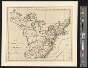
A map of the United States of America as settled by the peace of 1783
294.
Map of United States showing drainage areas and index numbers
295.
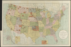
Map showing Indian reservations within the limits of the United States
296.
A new & accurate map of Louisiana, with part of Florida and Canada, : and the adjacent countries drawn from surveys assisted by...
297.
A New & accurate map of North America, : including the British acquisitions gain'd by the late war, 1763
298.
A new map of the British empire in Nth. America
299.
A new map of the United States of America : drawn from the latest authorities
300.
A new map of the United States of America including part of Louisiana : part of Canada & of East Florida and the whole of West...
‹ Prev
Next ›
1
2
…
11
12
13
14
15
16
17
18
19
…
429
430