Toggle navigation
LMEC Home
Exhibitions
Georeferencing
Tools for Teachers
Collections
My Favorites
Sign Up / Log In
Search
Search the map portal
Map Collection
Map Collection
Map Sets
Search
Search
Search for
Search In
All Fields
Creator
Title
Subject
Place
Search All Digital Collections
Advanced Search
27 Results
My Search
Start Over
More Like
commonwealth:q524nd88q
Remove constraint More Like: commonwealth:q524nd88q
Place
Canada
Remove constraint Place: Canada
Filter your Search
Place
Canada
[remove]
27
North and Central America
25
Québec
8
Quebec
7
United States
6
Louisbourg
3
New York
3
Newfoundland and Labrador
3
more
Place
»
Topic
Manuscript maps--Early works to 1800
13
Québec (Québec)--Maps, Manuscript--Early works to 1800
4
Fort Frontenac (Ont. : Fort)--Maps--Early works to 1800
2
Fortification--Ontario--Fort Frontenac (Fort)--Maps--Early works to 1800
2
Kingston (Ont.)--Maps--Early works to 1800
2
Louisbourg (N.S.)--Maps--Early works to 1800
2
New York (N.Y.)--Maps--Early works to 1800
2
New York (State)--Boundaries--Québec (Province)--Maps--Early works to 1800
2
more
Topic
»
Date
Date range begin
–
Date range end
Current results range from
1717
to
1793
1717 : 1794
1717
1794
View distribution
Creator
Collins, John, -1795
2
Finlay, Hugh, 1732-1801
2
Montrésor, John, 1736-1799
2
Aubant, Abraham d'
1
Blaskowitz, Charles
1
Bockoune, Lamiralle
1
Bowen, Emanuel, d. 1767
1
Chaussegros de Léry, Gaspard-Joseph, 1682-1756
1
more
Creator
»
Format
Maps/Atlases
27
Manuscripts
26
Georeferenced
No
27
Collection
American Revolutionary War-Era Maps
26
Library of Congress Collection
17
Newberry Library Collection
9
Boston and New England Maps
1
Maritime Charts and Atlases
1
Norman B. Leventhal Map & Education Center Collection
1
Urban Maps
1
Available to use
Creative Commons license
17
No known restrictions
1
Search Constraints
Sort by relevance
relevance
title
date (asc)
date (desc)
Number of results to display per page
20 per page
10
per page
20
per page
50
per page
100
per page
View results as:
grid view
map view
Search Results
1.
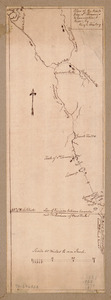
Plan of a rout undertaken in winter, Jany. 26th : from Quebec, the capital of Canada, to the frontier settlements of the...
2.
A plan of a survey made to explore the country for a road between Connecticut River & St. Francis
3.
A plan of the division line between the provinces of New-York and Quebec : In the 45th degree of north latitude. Survey'd in...
4.
Plan of the route from St. Francis to Connecticut River
5.
Particular draughts and plans of some of the principal towns and harbours belonging to the English, French, and Spaniards, in...
6.
Amerique Septentrionale : Acadie ou Nouvelle Ecosse aux anglois : Annapolis Royal
7.
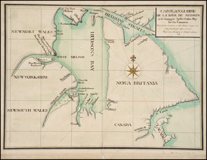
Carte angloise de la Baye de Hudson ou la compagnie apellee Hudson Bay fait son commerce : tirée de la liasse des concecions...
8.
Carte de la rivire du Cannada, la Terre Nevf, Cape Britton et la cotte de Lacadie
9.
Carte d'un partie de l'Amerique Septentrionale : ou est tracée notre route d'Halifax à New York, par Quebec, Montreal, le Lac...
10.
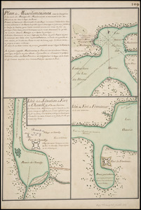
Plan de Missilimakinak avec la description de la route du Missisipi ; Idée de la situation du fort de Chambly, et des ses...
11.
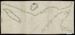
Plan du detroit de Belle Isle et du Golphe St. Laurent pour la coste du nord
12.
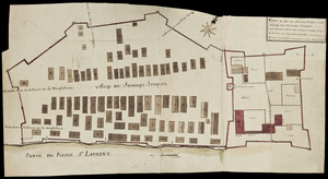
Plan du Fort du Sault de St. Louis et du village des sauvages Iroquois
13.
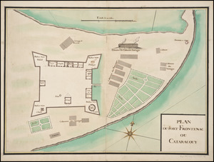
Plan du Fort Frontenac ou Cataracouy
14.
Plan du port et de la ville de Louisbourg : avec ses batteries et sa perspective, où est réprésenté les batteries faites...
15.
A general plan of Annapolis Royal
16.
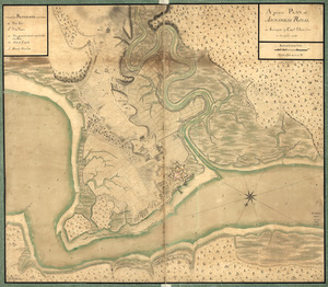
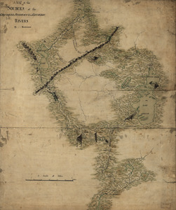
A map of the sources of the Chaudière, Penobscot, and Kennebec rivers
17.
Northern part of the Gut of Canso : part of the island of Cape Bocton
18.
Plan de la ville de Québec
19.
Plan du Cap Breton, dit Louisbovrg avec ces environs pries
20.
Plan du terrain sur le cap appartenant à la paroise de cette uille 1756
‹ Prev
Next ›
1
2