Toggle navigation
LMEC Home
Exhibitions
Georeferencing
Tools for Teachers
Collections
My Favorites
Sign Up / Log In
Search
Search the map portal
Map Collection
Map Collection
Map Sets
Search
Search
Search for
Search In
All Fields
Creator
Title
Subject
Place
Search All Digital Collections
Advanced Search
13518 Results
Filter your Search
Place
North and Central America
10,232
United States
8,367
Massachusetts
2,778
Suffolk (county)
1,675
Boston
1,631
Europe
1,386
Canada
949
New York
640
more
Place
»
Topic
Boston (Mass.)--Maps
746
City planning--Massachusetts--Boston--Maps
418
United States--History--Revolution, 1775-1783--Maps
329
United States--Maps
321
Real property--Massachusetts--Boston--Maps
254
Urban renewal--Massachusetts--Boston--Maps
254
Massachusetts--Maps
230
Insurance surveys
197
more
Topic
»
Date
Date range begin
–
Date range end
Current results range from
1482
to
2023
View distribution
Creator
United States. Hydrographic Office
596
Boston Redevelopment Authority
404
Des Barres, Joseph F. W. (Joseph Frederick Wallet), 1722-1824
247
Royal United Services Institute for Defence and Security Studies
160
Jefferys, Thomas, -1771
154
George, III, King of Great Britain, 1738-1820
152
George, IV, King of Great Britain, 1762-1830
151
O.H. Bailey & Co
148
more
Creator
»
Format
Maps/Atlases
13,337
Manuscripts
985
Prints
102
Books
49
Drawings/Illustrations
44
Photographs
15
Objects/Artifacts
13
Documents
7
more
Format
»
Georeferenced
Yes
979
No
12,539
Collection
Norman B. Leventhal Map & Education Center Collection
9,022
American Revolutionary War-Era Maps
3,305
Boston and New England Maps
2,900
Urban Maps
2,425
Maritime Charts and Atlases
1,167
William L. Clements Library Collection
910
Library of Congress Collection
618
Boston Redevelopment Authority Collection
475
more
Collection
»
Available to use
No known restrictions
10,085
Creative Commons license
1,677
Search Constraints
Sort by relevance
relevance
title
date (asc)
date (desc)
Number of results to display per page
20 per page
10
per page
20
per page
50
per page
100
per page
View results as:
grid view
map view
Search Results
5461.
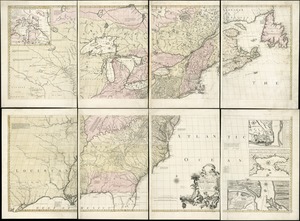
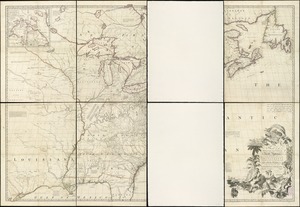
A map of the British and French dominions in North America, with the roads, distances, limits, and extent of the settlements
5462.
A map of the British and French dominions in North America with the roads, distances, limits, and extent of the settlements,...
5463.
A map of the British and French dominions in North America with the roads, distances, limits, and extent of the settlements,...
5464.
A map of the British and French settlements in North America
5465.
A Map of the British and French settlements in North America : (part the second) containing part of New York, Pensilvania, New...
5466.
A Map of the British and French settlements in North America
5467.
A Map of the British and French settlements in North America
5468.
A map of the British and French settlements in North America
5469.
A map of the British colonies in North America : with the roads, distances, limits, and extent of the settlements, humbly...
5470.
A MAP of the BRITISH COLONIES in North America : WITH THE Roads, Distances, Limits, and Extent of the SETTLEMENTS, Humbly...
5471.
A map of the British colonies in North America : with the roads, distances, limits, and extent of the settlements, humbly...
5472.
A Map of the British dominions in North America as settled by the late treaty of Peace 1763
5473.
A map of the British Empire in America with the French and Spanish settlements adjacent thereto
5474.
A map of the British Empire in America with the French and Spanish settlements adjacent thereto
5475.
A map of the British Empire in America with the French and Spanish settlements adjacent throughout
5476.
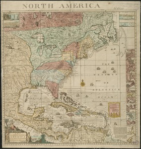
A map of the British empire, in North America
5477.
Map of the British landings at Louisbourg
5478.
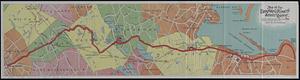
Map of the Brockton & Plymouth street railway
5479.
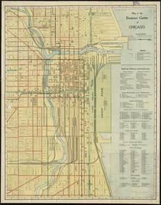
Map of the business center of Chicago
5480.
Map of the Canadian Rockies triangle tour of British Columbia, Alaska and the Yukon
‹ Prev
Next ›
1
2
…
270
271
272
273
274
275
276
277
278
…
675
676