Toggle navigation
LMEC Home
Exhibitions
Georeferencing
Tools for Teachers
Collections
My Favorites
Sign Up / Log In
Search
Search the map portal
Map Collection
Map Collection
Map Sets
Search
Search
Search for
Search In
All Fields
Creator
Title
Subject
Place
Search All Digital Collections
Advanced Search
297 Results
My Search
Start Over
1780
Remove constraint 1780
Filter your Search
Place
North and Central America
259
United States
180
Canada
40
New York
34
Charleston (county)
31
Charleston
27
South Carolina
25
New Jersey
19
more
Place
»
Topic
United States--History--Revolution, 1775-1783--Maps
54
Manuscript maps--Early works to 1800
22
Charleston (S.C.)--Maps
11
Charleston (S.C.)--Siege, 1780--Maps
9
Fortification--Newfoundland and Labrador--St. John's--Maps, Manuscript--Early works to 1800
9
Harbors--Newfoundland and Labrador--St. John's--Maps, Manuscript--Early works to 1800
9
Military art and science--Newfoundland and Labrador--St. John's--Maps, Manuscript--Early works to 1800
9
St. John's (N.L.)--Maps, Manuscript--Early works to 1800
9
more
Topic
»
Date
Date range begin
–
Date range end
Current results range from
1711
to
1909
View distribution
Creator
Skinner, Monier
28
Skinner, William, 1700-1780
28
Des Barres, Joseph F. W. (Joseph Frederick Wallet), 1722-1824
25
Faden, William, 1749-1836
16
André, John, 1751-1780
11
Bonne, Rigobert, 1727-1794
8
Carver, Jonathan, 1710-1780
6
Ferguson, Patrick, 1744-1780
6
more
Creator
»
Format
Maps/Atlases
291
Manuscripts
71
Prints
5
Drawings/Illustrations
1
Georeferenced
Yes
7
No
290
Collection
American Revolutionary War-Era Maps
266
Norman B. Leventhal Map & Education Center Collection
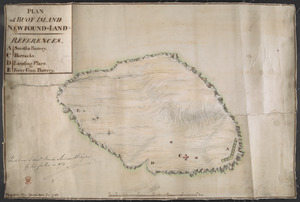
66
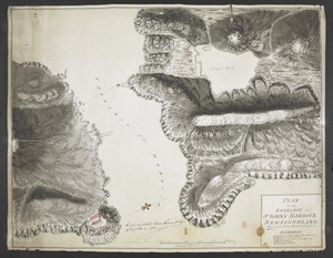
William L. Clements Library Collection
65
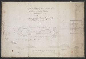
Library of Congress Collection
63
British Library Collection
33
Maritime Charts and Atlases
27
Richard H. Brown Revolutionary War Map Collection at Mount Vernon
26
Boston and New England Maps
13
more
Collection
»
Available to use
Creative Commons license
142
No known restrictions
66
Search Constraints
Sort by relevance
relevance
title
date (asc)
date (desc)
Number of results to display per page
20 per page
10
per page
20
per page
50
per page
100
per page
View results as:
grid view
map view
Search Results
101.
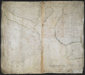
[Six sectional drawings of the Harbour of Saint John, Newfoundland]
102.
A chart of Montego Bay on the north west shore of the island of Jamaica : Port Antonio on the north east shore of the island of...
103.
Plan of the route of pipes from Jamaica Pond, in Roxbury to the reservoir, in Boston
104.
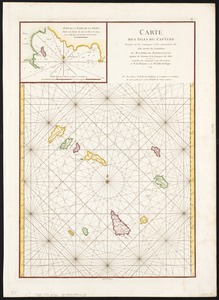
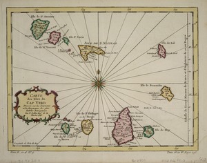
Carte des Isles du Cap Verd
105.
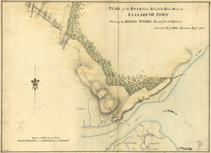
Plan of the road from Elizabeth Town Point to Elizabeth Town : shewing the rebel works raised for its defence
106.
Map of Orange and Rockland counties area of New York
107.
[Map showing Jonathan Carver's travels west of the Great Lakes.]
108.
[Map showing Jonathan Carver's travels west of the Great Lakes.]
109.
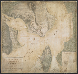
PLAN of the FORT in TIENDEROGA and Environs at the head of LAKE CHAMPLAIN November 1759
110.
The coast of Nova Scotia, New England, New-York, Jersey, the Gulph and River of St. Lawrence : the islands of Newfoundland,...
111.
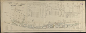
Plan of the Liverpool Docks
112.
A Plan of the Road, Harbour and Town of Placentia in the Island of Newfoundland From an Actual Survey shewing the Situation of...
113.
The Cape Verd Islands : laid down from the remarks and observations of experienced navigators
114.
The Cape Verd Islands, laid down from the remarks and observations of experienced navigators
115.
The Cape Verd Islands, laid down from the remarks and observations of experienced navigators
116.
Carte des isles du Cap-Verd : dressée sur les remarques et les observations les plus exactes des navigateurs
117.
PLAN of BUOY ISLAND NEW FOUND-LAND
118.
PLAN OF THE ENTRANCE OF ST IOHN'S HARBOUR NEWFOUNDLAND Shewing the additional Work's erecting for its defence
119.
A plan of the town of Dracut protracted by a scale of 200 rods to an inch : taken in Octobr. 1791
120.
Project for Fortifying the Admiralls Point going into Trinity Harbour Newfoundland Octob.r 1745
‹ Prev
Next ›
1
2
3
4
5
6
7
8
9
10
…
14
15
![[Six sectional drawings of the Harbour of Saint John, Newfoundland]](https://bpldcassets.blob.core.windows.net/derivatives/images/commonwealth:6108vv37h/image_thumbnail_300.jpg)


![[Map showing Jonathan Carver's travels west of the Great Lakes.]](https://bpldcassets.blob.core.windows.net/derivatives/images/commonwealth:hx11z299h/image_thumbnail_300.jpg)
![[Map showing Jonathan Carver's travels west of the Great Lakes.]](https://bpldcassets.blob.core.windows.net/derivatives/images/commonwealth:6108vw266/image_thumbnail_300.jpg)