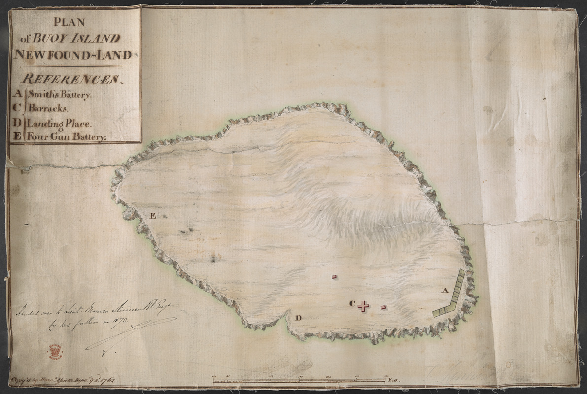
PLAN of BUOY ISLAND NEW FOUND-LAND
This map is also available in American Revolutionary Geographies Online (ARGO), a collections portal especially built for material relating to the American Revolutionary War Era. Visit ARGO to learn more about this item and explore the historical geography of North America in the late eighteenth century.
Item Information
- Title:
- PLAN of BUOY ISLAND NEW FOUND-LAND
- Associated name:
- Skinner, Thomas, 1759-1818
- Former owner:
- Skinner, William, 1700-1780
- Former owner:
- Skinner, Monier
- Name on Item:
-
Copy'd by Fran.s Assiotti Sept. ye 3.d 1762.
- Date:
-
1762
- Format:
-
Maps/Atlases
- Location:
- British Library
- Collection (local):
-
British Library Collection
- Subjects:
-
Islands--Newfoundland and Labrador--Ferryland--Maps, Manuscript--Early works to 1800
Ferryland (N.L.)--Maps, Manuscript--Early works to 1800
- Places:
-
CanadaFerryland
- Extent:
- 1 map : manuscript pen and ink ; 34 x 51 cm
- Terms of Use:
-
No known copyright restrictions.
This work is licensed for use under a Creative Commons Attribution Non-Commercial Share Alike License (CC BY-NC-SA).

- Publisher:
-
[Place of production not identified] :
Copy'd by Fran.s Assiotti,
- Scale:
-
Scale approximately 1:1,200
- Language:
-
English
- Catalog Record:
-
http://searcharchives.bl.uk/IAMS_VU2:IAMS040-002027386
- Notes:
-
Relief is shown pictorially.
Shows Bois Island, Ferryland, Newfoundland.
Shows title at upper left incorporating lettered key (A-D) identifying Smith's Battery, the Barracks, the landing place and a four gun battery.
Show scale bar at lower centre in feet.
Shows Assiotti's name and the date of copy at lower left.
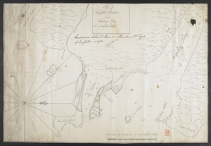
Copy at Add Ms 33,231.II.15. A roll - laid on linen. Manuscript annotation at lower left in black ink, "Handed over to Lieut. Monier Skinner R. Eng.r by his father in 1872" and initialled (by Monier Skinner?). Red stamp of British Museum at lower left. Pressmark stamped to verso and repeated in pencil. Shows "T Skinner" in pencil at lower right.
- Notes (date):
-
9999