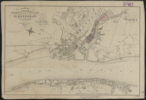
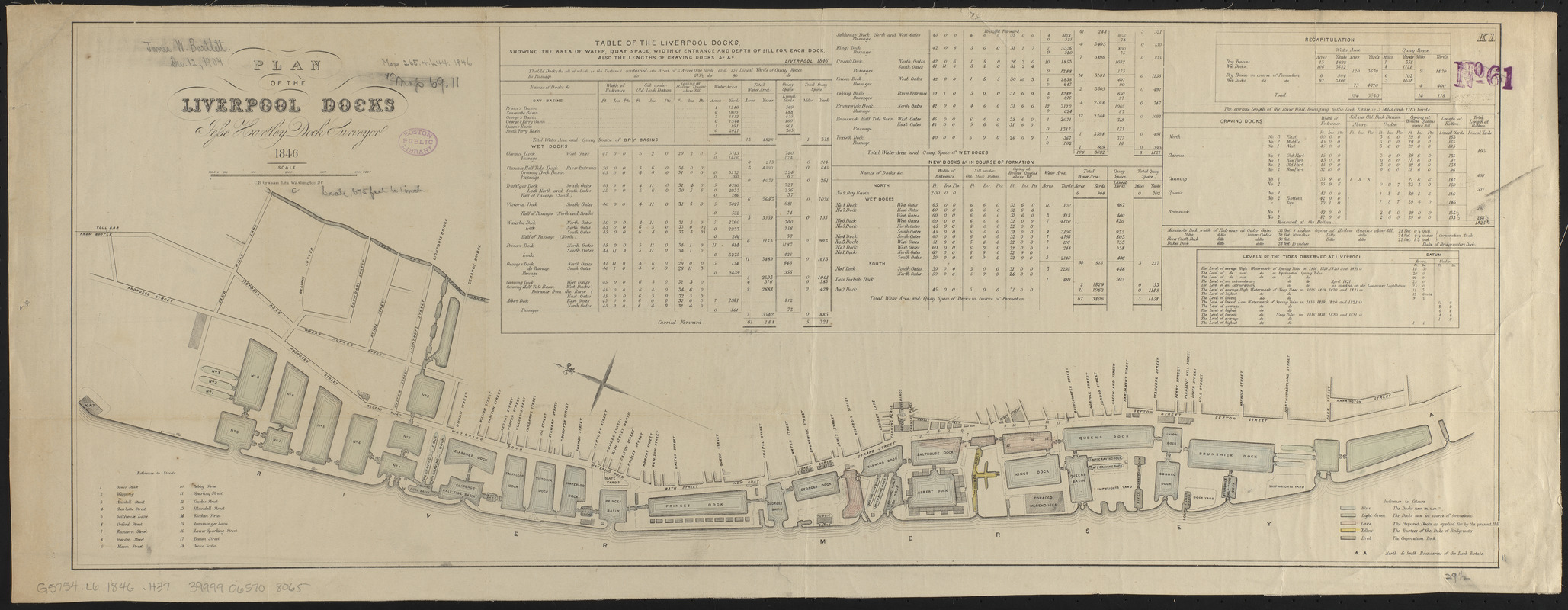
Plan of the Liverpool Docks
Item Information
- Title:
- Plan of the Liverpool Docks
- Cartographer:
- Hartley, Jesse, 1780-1760
- Lithographer:
- Graham, C. B. (Curtis B.)
- Name on Item:
-
Jesse Hartley, dock surveyor
- Date:
-
1846
- Format:
-
Maps/Atlases
- Location:
-
Boston Public Library
Norman B. Leventhal Map & Education Center - Collection (local):
-
Norman B. Leventhal Map & Education Center Collection
- Subjects:
-
Docks--England--Liverpool--Maps
Liverpool (England)--Maps
- Places:
-
EnglandLiverpool (county)
- Extent:
- 1 map : color ; 29 x 75 cm
- Terms of Use:
-
No known copyright restrictions.
No known restrictions on use.
- Publisher:
-
[Place of publication not identified] :
[publisher not identified]
- Scale:
-
Scale approximately 1:2,075
- Language:
-
English
- Notes:
-
Oriented with north to the upper left.
Includes tables and reference to streets.
In upper right: K1.
- Identifier:
-
06_01_015029
- Call #:
-
G5754.L6 1846 .H37
- Barcode:
-
39999065708065