Toggle navigation
LMEC Home
Exhibitions
Georeferencing
Tools for Teachers
Collections
My Favorites
Sign Up / Log In
Search
Search the map portal
Map Collection
Map Collection
Map Sets
Search
Search
Search for
Search In
All Fields
Creator
Title
Subject
Place
Search All Digital Collections
Advanced Search
158 Results
My Search
Start Over
1914
Remove constraint 1914
Filter your Search
Place
Europe
73
North and Central America
65
United States
44
France
23
Canada
16
Asia
13
Massachusetts
13
Belgium
11
more
Place
»
Topic
Europe--Maps
19
France--Maps
15
World War, 1914-1918--Europe--Maps
11
Belgium--Maps
10
World War, 1914-1918--Maps
10
Balkan Peninsula--Maps
8
World War, 1914-1918--Belgium--Maps
7
World War, 1914-1918--France--Maps
7
more
Topic
»
Date
Date range begin
–
Date range end
Current results range from
1831
to
2014
View distribution
Creator
Gross, Alexander, 1879-1958
27
Geological Survey of Canada
8
Dowling, D. B. (Donaldson Bogart), 1858-1925
7
Gannett, Henry, 1846-1914
7
American Geographical Society of New York
6
Geological Survey (U.S.)
6
Army Service Schools (U.S.)
5
France. Armée. Groupe de canevas de tir
5
more
Creator
»
Format
Maps/Atlases
156
Prints
2
Manuscripts
1
Georeferenced
Yes
25
No
133
Collection
Norman B. Leventhal Map & Education Center Collection
150
Boston and New England Maps
5
Urban Maps
4
American Textile History Museum Image Collection
2
Massachusetts Real Estate Atlases
2
Town plans, 1830
2
Lucius Beebe Memorial Library Historic Maps
1
MacLean Collection Map Library
1
more
Collection
»
Available to use
No known restrictions
152
Creative Commons license
1
Search Constraints
Sort by relevance
relevance
title
date (asc)
date (desc)
Number of results to display per page
20 per page
10
per page
20
per page
50
per page
100
per page
View results as:
grid view
map view
Search Results
81.
Distribution of the colored population of the United States : 1890
82.
Distribution of the population of the United States : 1890
83.
Rank of the most populous cities at each census : 1790-1890
84.
Plan of Danvers made by John W. Proctor, dated 1832
85.
State of Kentucky, stations and transmission lines used in public service in 1921
86.
Europe, Africa and the Far East
87.
Plan general de la ville du Caire
88.
The National Geographic magazine map of the new Balkan states and Central Europe
89.
Map showing the sources of some of the offensive odors perceived in Boston, 1878
90.
United States
91.
The new Europe and the new world
92.
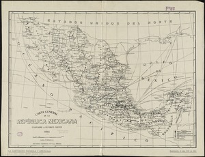
Carta general de la República Mexicana conforme a últimos datos
93.
Jamaica Plain, Massachusetts : Ward 23, City of Boston, 1891
94.
State of West Virginia, stations and transmission lines used in public service in 1921
95.
State of Virginia : stations and transmission lines used in public service in 1925 and gaging stations
96.
The races of Europe
97.
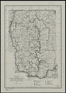
Kaniksu National Forest, Idaho and Washington
98.
The Builder map of the county of London : shewing the boundaries of the surveyors' districts under the building acts
99.
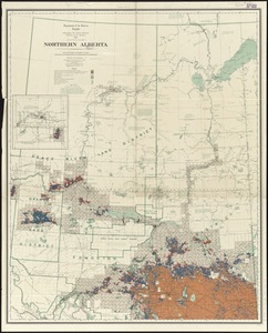
Northern Alberta : map showing disposition of lands
100.
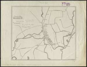
Maps of Providence, R.I., 1650, 1765, 1770
‹ Prev
Next ›
1
2
3
4
5
6
7
8