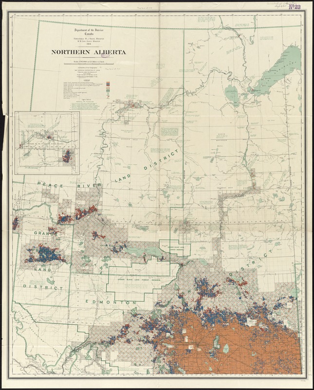
Northern Alberta : map showing disposition of lands
Item Information
- Title:
- Northern Alberta : map showing disposition of lands
- Creator:
- Canada. Railway Lands Branch
- Name on Item:
-
J.E. Chalifour, Chief Geographer ; map prepared under the direction of F.C.C. Lynch, Superintendent of Railway Lands.
- Date:
-
1914
- Format:
-
Maps/Atlases
- Location:
-
Boston Public Library
Norman B. Leventhal Map & Education Center - Collection (local):
-
Norman B. Leventhal Map & Education Center Collection
- Subjects:
-
Land use--Alberta--Maps
Petroleum--Alberta--Maps
Natural gas--Alberta--Maps
Real property--Alberta--Maps
Alberta--Maps
- Places:
-
CanadaProvince of Alberta (province)
- Extent:
- 1 map : color ; 104 x 84 cm
- Terms of Use:
-
No known copyright restrictions.
No known restrictions on use.
- Publisher:
-
Ottawa :
Department of the Interior
- Edition:
- 8th edition.
- Scale:
-
Scale 1:792,000. 12.5 miles to 1 inch
- Language:
-
English
- Notes:
-
Relief shown by spot heights.
Inset: [western continuation].
Includes notes on soil, land, vegetation, and petroleum borings.
"Corrected to September 1st 1914."
- Identifier:
-
06_01_011678
- Call #:
-
G3501.G4 1914 .C36
- Barcode:
-
39999065687293


