Toggle navigation
LMEC Home
Exhibitions
Georeferencing
Tools for Teachers
Collections
My Favorites
Sign Up / Log In
Search
Search the map portal
Map Collection
Map Collection
Map Sets
Search
Search
Search for
Search In
All Fields
Creator
Title
Subject
Place
Search All Digital Collections
Advanced Search
13385 Results
Filter your Search
Place
North and Central America
9,353
United States
7,078
Suffolk (county)
1,664
Boston
1,621
Europe
1,035
Canada
949
Massachusetts
794
New York
532
more
Place
»
Topic
Boston (Mass.)--Maps
741
City planning--Massachusetts--Boston--Maps
418
United States--History--Revolution, 1775-1783--Maps
329
United States--Maps
315
Urban renewal--Massachusetts--Boston--Maps
254
Real property--Massachusetts--Boston--Maps
252
Massachusetts--Maps
219
Insurance surveys
197
more
Topic
»
Date
Date range begin
–
Date range end
Current results range from
1482
to
2023
View distribution
Creator
United States. Hydrographic Office
595
Boston Redevelopment Authority
403
Des Barres, Joseph F. W. (Joseph Frederick Wallet), 1722-1824
247
Royal United Services Institute for Defence and Security Studies
160
Jefferys, Thomas, -1771
154
George, III, King of Great Britain, 1738-1820
152
George, IV, King of Great Britain, 1762-1830
151
O.H. Bailey & Co
148
more
Creator
»
Format
Maps/Atlases
13,205
Manuscripts
985
Prints
102
Books
49
Drawings/Illustrations
44
Photographs
15
Objects/Artifacts
13
Documents
7
more
Format
»
Georeferenced
Yes
979
No
12,406
Collection
Norman B. Leventhal Map Center Collection
8,891
American Revolutionary War-Era Maps
3,305
Boston and New England Maps
2,804
Urban Maps
2,397
Maritime Charts and Atlases
1,150
William L. Clements Library Collection
910
Library of Congress Collection
618
Boston Redevelopment Authority Collection
475
more
Collection
»
Available to use
No known restrictions
9,952
Creative Commons license
1,677
Search Constraints
Sort by date (desc)
relevance
title
date (asc)
date (desc)
Number of results to display per page
20 per page
10
per page
20
per page
50
per page
100
per page
View results as:
grid view
map view
Search Results
9461.
Plan d'York en Virginie avec les attaques faites par les Armées françoise et américaine en 8bre. 1781
9462.
Plan from Paulus Hook ferry in the province of East Jersey, to King's Ferry in the province of New York and parts adjacent from...
9463.
Plan of Charlestown 1781
9464.
Plan of Fort George and adjacent works at Pensacola in West Florida
9465.
Plan of Fort George at Pensacola
9466.
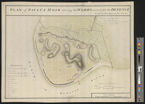
Plan of Paulus Hook shewing the works erected for its defence
9467.
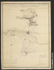
Plan of Paulus Hook shewing the works erected for its defence and the country adjacent in the province of East Jersey
9468.
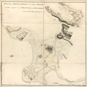
A plan of Paulus Hook with the road to Bergen and parts adjacent in the province of New Jersey
9469.
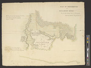
Plan of Portsmouth on Elizabeth River : from an exact survey made ye. 21st January 1781
9470.
Plan of Princess Ann and Norfolk counties
9471.
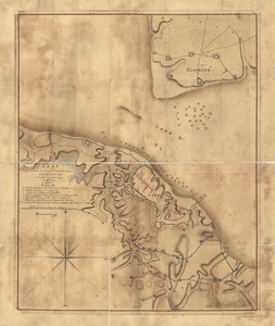
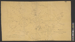
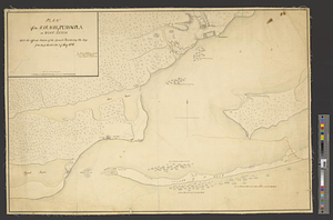
Plan of the bay of Saldanha on the S.W. coast of Africa shewing the opperations [sic] of the squadron of Commodore Johnstone,...
9472.
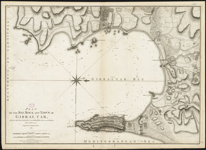
Plan of the bay, rock and town of Gibraltar, from an actual survey by an officer who was at Gibraltar from 1769 to 1775
9473.
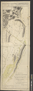
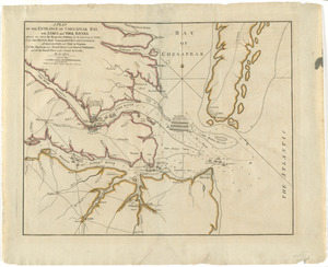
A plan of the entrance of Chesapeak Bay, with James and York Rivers : wherein are shown the respective positions (in the...
9474.
A plan of the entrance of Chesapeak Bay, with James and York rivers : wherein are shewn the respective positions (in the...
9475.
A plan of the entrance of Chesapeak Bay, with James and York rivers : wherein are shewn the respective positions (in the...
9476.
A Plan of the entrance of Chesapeak [sic] Bay, with James and York Rivers : wherein are shewn the respective positions (in the...
9477.
Plan of the harbour of Pensacola in West Florida with the different stations of the Spanish fleet during the siege from the 9...
9478.
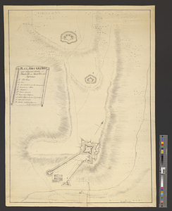
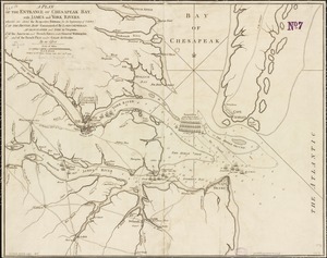
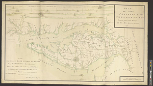
PLAN OF THE PENINSULA OF CHESOPEAK BAY
9479.
Plan of the peninsula of Chesopeak Bay : compiled from actual surveys
9480.
Plan of the peninsula of Chesopeak [sic] Bay
‹ Prev
Next ›
1
2
…
470
471
472
473
474
475
476
477
478
…
669
670

![Plan of the bay of Saldanha on the S.W. coast of Africa shewing the opperations [sic] of the squadron of Commodore Johnstone, in the attack upon the five Dutch East India ships on the morning of July 21st: AD: 1781](https://bpldcassets.blob.core.windows.net/derivatives/metadata/commonwealth-oai:7d27dp94q/image_thumbnail_300.jpg)

![A Plan of the entrance of Chesapeak [sic] Bay, with James and York Rivers](https://bpldcassets.blob.core.windows.net/derivatives/images/commonwealth:q524nf233/image_thumbnail_300.jpg)

![Plan of the peninsula of Chesopeak [sic] Bay](https://bpldcassets.blob.core.windows.net/derivatives/images/commonwealth:z603vn14c/image_thumbnail_300.jpg)