Toggle navigation
LMEC Home
Exhibitions
Georeferencing
Tools for Teachers
Collections
My Favorites
Sign Up / Log In
Search
Search the map portal
Map Collection
Map Collection
Map Sets
Search
Search
Search for
Search In
All Fields
Creator
Title
Subject
Place
Search All Digital Collections
Advanced Search
13385 Results
Filter your Search
Place
North and Central America
9,353
United States
7,078
Suffolk (county)
1,664
Boston
1,621
Europe
1,035
Canada
949
Massachusetts
794
New York
532
more
Place
»
Topic
Boston (Mass.)--Maps
741
City planning--Massachusetts--Boston--Maps
418
United States--History--Revolution, 1775-1783--Maps
329
United States--Maps
315
Urban renewal--Massachusetts--Boston--Maps
254
Real property--Massachusetts--Boston--Maps
252
Massachusetts--Maps
219
Insurance surveys
197
more
Topic
»
Date
Date range begin
–
Date range end
Current results range from
1482
to
2023
View distribution
Creator
United States. Hydrographic Office
595
Boston Redevelopment Authority
403
Des Barres, Joseph F. W. (Joseph Frederick Wallet), 1722-1824
247
Royal United Services Institute for Defence and Security Studies
160
Jefferys, Thomas, -1771
154
George, III, King of Great Britain, 1738-1820
152
George, IV, King of Great Britain, 1762-1830
151
O.H. Bailey & Co
148
more
Creator
»
Format
Maps/Atlases
13,205
Manuscripts
985
Prints
102
Books
49
Drawings/Illustrations
44
Photographs
15
Objects/Artifacts
13
Documents
7
more
Format
»
Georeferenced
Yes
979
No
12,406
Collection
Norman B. Leventhal Map Center Collection
8,891
American Revolutionary War-Era Maps
3,305
Boston and New England Maps
2,804
Urban Maps
2,397
Maritime Charts and Atlases
1,150
William L. Clements Library Collection
910
Library of Congress Collection
618
Boston Redevelopment Authority Collection
475
more
Collection
»
Available to use
No known restrictions
9,952
Creative Commons license
1,677
Search Constraints
Sort by relevance
relevance
title
date (asc)
date (desc)
Number of results to display per page
20 per page
10
per page
20
per page
50
per page
100
per page
View results as:
grid view
map view
Search Results
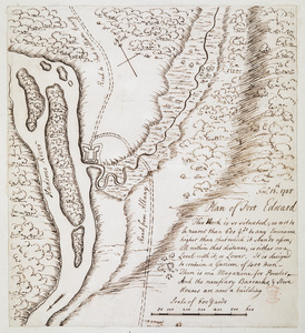
8861.
Plan of Fort Edward
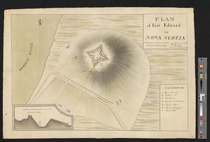
8862.
Plan of Fort Edward in Nova Scotia
8863.
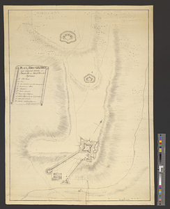
Plan of Fort Edward situated lat. 43 lon. 72 30'
8864.
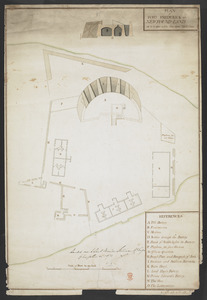
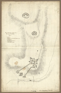
Plan of Fort [Franklin] on French Creek : built by a detachment of the 1st U.S. Regt., 1787
8865.
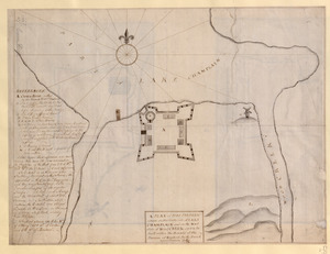
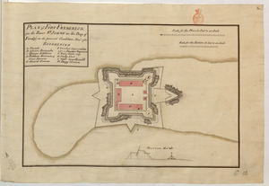
A PLAN of FORT FREDERIC situate on the South Side of LAKE CHAMPLAIN and on the West Side of Wood CREEK built within the bounds...
8866.
Plan of Fort Frederick at Albany
8867.
PLAN of FORT FREDERICK at NEWFOUND-LAND as it is now with the new Additions
8868.
PLAN of FORT FREDERICK (in the River S.T JOHNS in the Bay of Fundy) in its present condition Nov.r 1761
8869.
A plan of Fort Frederick, situated at the entrance of St. John's River : lat 47 long. 66 30'
8870.
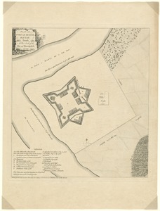
Plan of Fort Frontenac
8871.
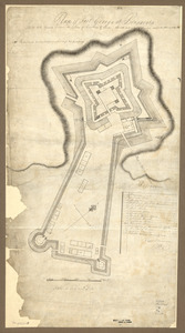
Plan of Fort George and adjacent works at Pensacola in West Florida
8872.
Plan of Fort George and adjacent works at Pensacola in West Florida
8873.
Plan of Fort George at Pensacola
8874.
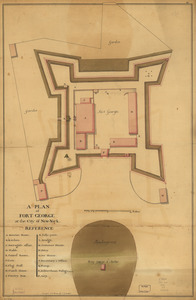
A plan of Fort George at the city of New-York
8875.
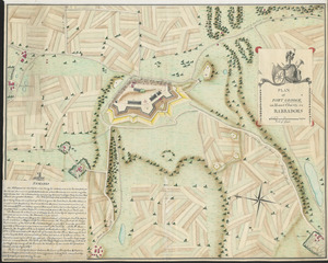
PLAN of FORT GEORGE, on Mount Charity, in BARBADOES
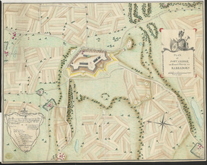
8876.
PLAN of FORT GEORGE, on Mount Charity, in BARBADOES
8877.
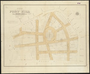
Plan of Fort Hill showing improvements as proposed by the Committee on laying out and widening streets
8878.
Plan of Fort Hill showing street improvements as adopted by the city council : 1869
8879.
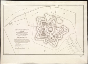
Plan of Fort Jackson, showing the effect of the bombardment by the U.S. mortar flotilla and gunboats, April 18th to 24th 1862 :...
8880.
Plan of Fort le Quesne, built by the French at the fork of the Ohio and Monongahela in 1754
‹ Prev
Next ›
1
2
…
440
441
442
443
444
445
446
447
448
…
669
670

![Plan of Fort [Franklin] on French Creek](https://bpldcassets.blob.core.windows.net/derivatives/metadata/commonwealth-oai:5x21zf368/image_thumbnail_300.jpg)