Toggle navigation
LMEC Home
Exhibitions
Georeferencing
Tools for Teachers
Collections
My Favorites
Sign Up / Log In
Search
Search the map portal
Map Collection
Map Collection
Map Sets
Search
Search
Search for
Search In
All Fields
Creator
Title
Subject
Place
Search All Digital Collections
Advanced Search
13680 Results
My Search
Start Over
Date facet yearly ssim
1605
to
1609
Remove constraint Date facet yearly ssim: <span class='from'>1605</span> to <span class='to'>1609</span>
Filter your Search
Place
North and Central America
10,344
United States
8,475
Massachusetts
2,789
Suffolk (county)
1,677
Boston
1,633
Europe
1,415
Canada
950
New York
649
more
Place
»
Topic
Boston (Mass.)--Maps
747
City planning--Massachusetts--Boston--Maps
418
United States--History--Revolution, 1775-1783--Maps
329
United States--Maps
322
Real property--Massachusetts--Boston--Maps
254
Urban renewal--Massachusetts--Boston--Maps
254
Massachusetts--Maps
231
Insurance surveys
197
more
Topic
»
Date
Date range begin
–
Date range end
Current results range from
1482
to
2023
View distribution
Creator
United States. Hydrographic Office
597
Boston Redevelopment Authority
404
Des Barres, Joseph F. W. (Joseph Frederick Wallet), 1722-1824
247
Royal United Services Institute for Defence and Security Studies
160
Jefferys, Thomas, -1771
154
George, III, King of Great Britain, 1738-1820
152
George, IV, King of Great Britain, 1762-1830
151
O.H. Bailey & Co
148
more
Creator
»
Format
Maps/Atlases
13,499
Manuscripts
985
Prints
102
Books
49
Drawings/Illustrations
44
Photographs
15
Objects/Artifacts
13
Documents
7
more
Format
»
Georeferenced
Yes
979
No
12,701
Collection
Norman B. Leventhal Map & Education Center Collection
9,096
American Revolutionary War-Era Maps
3,305
Boston and New England Maps
2,915
Urban Maps
2,471
Maritime Charts and Atlases
1,169
William L. Clements Library Collection
910
Library of Congress Collection
618
Boston Redevelopment Authority Collection
475
more
Collection
»
Available to use
No known restrictions
10,246
Creative Commons license
1,678
Search Constraints
Sort by relevance
relevance
title
date (asc)
date (desc)
Number of results to display per page
20 per page
10
per page
20
per page
50
per page
100
per page
View results as:
grid view
map view
Search Results
7961.
Outline map of the great northern route from Boston and New York to the Mississippi
7962.
Outline map of the lands known as Oklahoma, Indian Ter. opened to settlement by Executive Order March 23, 1889
7963.
Outline map of the various Boston metropolitan districts
7964.
Outline map of towns on the Massachusetts coast
7965.
Outline maps for the construction of a model of the world, based on the Lambert conformal conic projection
7966.
Outline plan showing the growth of Boston
7967.
Oval map of the world
7968.
Overzichtskaart van den Nederlandsch-Indischen archipel
7969.
Oxford, Massachusetts : 1891
7970.
Oxford Street, Chinatown
7971.
Oxonium comitatus, vulgo Oxford Shire
7972.
Oyster Bay and Huntington : Huntington Bay
7973.
Ozark National Forest, Arkansas
7974.
P. McD. Collins' proposed overland telegraph : via Behrings Strait and asiatic Russia to Europe, under Russian & British grants
7975.
Pacific Mills, Lawrence, Mass. [insurance map]
7976.
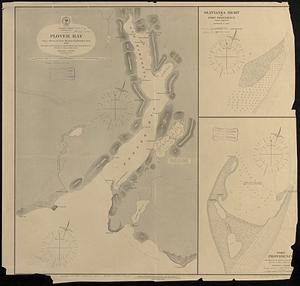
Pacific Ocean, Behrings Sea, Plover Bay : from a survey by Lieut. Maximov Imp! Russian Navy, 1876
7977.
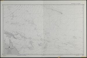
Pacific Ocean, central part
7978.
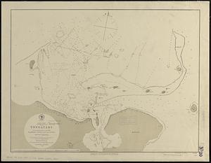
Pacific Ocean, Friendly Islands, Tongatábu : from a British survey in 1852 ; republication of British Admty. chart no. 2363
7979.
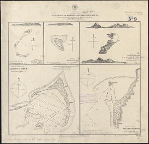
Pacific Ocean, islands of the Mariane and Caroline Groups : from a reconnaissance by the officers of the Imp. German Ship...
7980.
Pacific Ocean, Japan, east coast, north east shore of Sendai Bay
‹ Prev
Next ›
1
2
…
395
396
397
398
399
400
401
402
403
…
683
684


![Pacific Mills, Lawrence, Mass. [insurance map]](https://bpldcassets.blob.core.windows.net/derivatives/images/commonwealth:4j03db71r/image_thumbnail_300.jpg)