Pacific Ocean, Friendly Islands, Tongatábu : from a British survey in 1852 ; republication of British Admty. chart no. 2363
Item Information
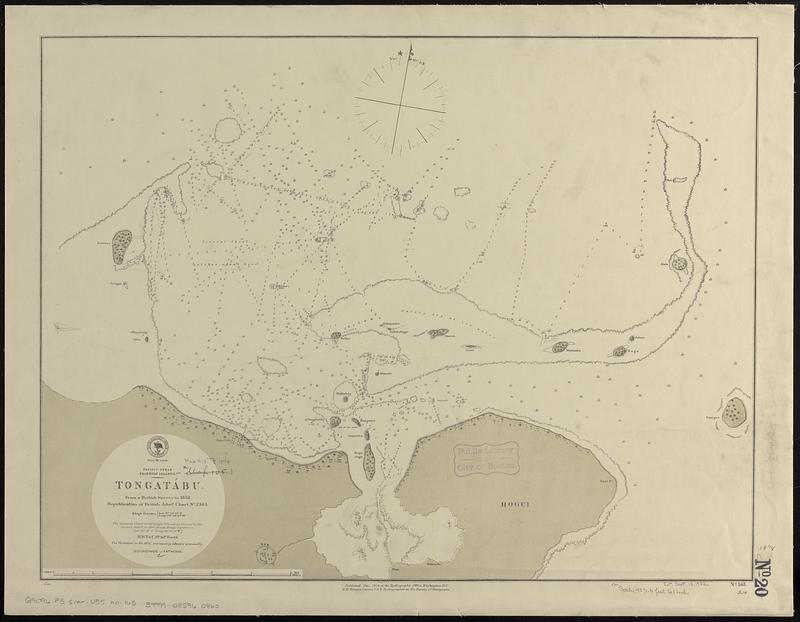
- Title:
- Pacific Ocean, Friendly Islands, Tongatábu : from a British survey in 1852 ; republication of British Admty. chart no. 2363
- Issuing body:
- United States. Hydrographic Office
- Date:
-
1874
- Format:
-
Maps/Atlases
- Genre:
-
Nautical charts
- Location:
-
Boston Public Library
Norman B. Leventhal Map & Education Center - Collection (local):
-
Norman B. Leventhal Map & Education Center Collection
- Subjects:
-
Tongatapu Island (Tonga)--Maps
Nautical charts--Tonga--Tongatapu Island
- Places:
-
TongaTongatapu (island)Tongatapu (area)
- Extent:
- 1 map ; 47 x 61 cm
- Terms of Use:
-
No known copyright restrictions.
No known restrictions on use.
- Publisher:
-
Washington, D.C. :
Hydrographic Office
- Scale:
-
Scale approximately 1:54,500
- Language:
-
English
- Notes:
-
Depths shown by soundings and isolines.
- Identifier:
-
06_01_017639
- Call #:
-
G9096.P5 svar .U55 no. 165
- Barcode:
-
39999085960860


