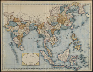
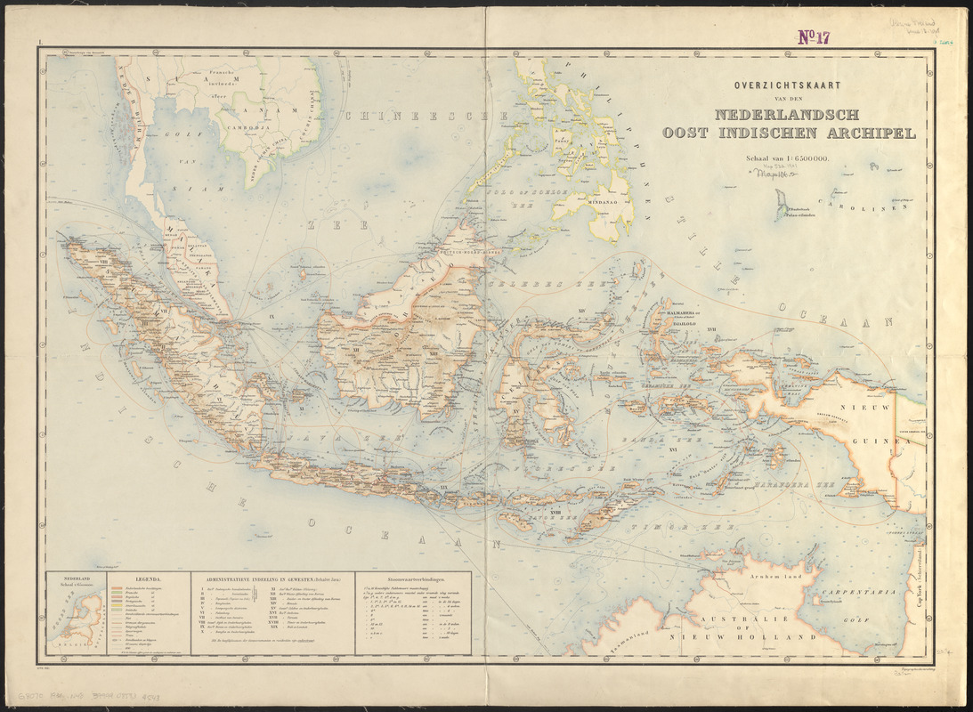
Overzichtskaart van den Nederlandsch-Indischen archipel
Item Information
- Title:
- Overzichtskaart van den Nederlandsch-Indischen archipel
- Title (alt.):
-
Nederlandsch Oost Indischen Archipel
- Cartographer:
- Netherlands. Topographische Inrichting
- Name on Item:
-
Topographische inrichting
- Date:
-
1901
- Format:
-
Maps/Atlases
- Location:
-
Boston Public Library
Norman B. Leventhal Map & Education Center - Collection (local):
-
Norman B. Leventhal Map & Education Center Collection
- Subjects:
-
East Indies--Maps
Indonesia--Maps
Tourist maps
- Places:
-
East Indies (area)
Indonesia
- Extent:
- 1 map : color ; 57 x 83 cm
- Terms of Use:
-
No known copyright restrictions.
No known restrictions on use.
- Publisher:
-
[Netherlands] :
Topografische inrichting
- Edition:
- Uitg. 1901
- Scale:
-
Scale 1:6,500,000
- Language:
-
Dutch
- Notes:
-
Relief shown by shading. Depths shown by soundings and isolines.
Shows administrative divisions in the Dutch East Indies and colonial administration of countries in southeast Asia.
Inset: Nederland.
In upper left margin: 1.
- Identifier:
-
06_01_015281
- Call #:
-
G8070 1901 .N48
- Barcode:
-
39999085934543