Toggle navigation
LMEC Home
Exhibitions
Georeferencing
Tools for Teachers
Collections
My Favorites
Sign Up / Log In
Search
Search the map portal
Map Collection
Map Collection
Map Sets
Search
Search
Search for
Search In
All Fields
Creator
Title
Subject
Place
Search All Digital Collections
Advanced Search
387 Results
My Search
Start Over
Date
1900
to
1904
Remove constraint Date: <span class='from'>1900</span> to <span class='to'>1904</span>
Filter your Search
Place
North and Central America
303
United States
247
Massachusetts
100
Boston
60
Suffolk (county)
60
Asia
36
Canada
26
New York
18
more
Place
»
Topic
Boston (Mass.)--Maps
41
Landowners--Massachusetts--Boston--Maps
26
Gold mines and mining--Nova Scotia--Maps
13
United States--Maps
10
Indian reservations--Oklahoma--Maps
9
Massachusetts--Maps
9
Geology--Nova Scotia--Halifax (County)--Maps
8
Halifax (N.S. : County)--Maps
8
more
Topic
»
Date
1900
to
1904
[remove]
387
Date range begin
–
Date range end
Current results range from
1770
to
1999
1900
to
1900
114
1901
to
1901
95
1902
to
1902
78
1903
to
1903
154
1904
to
1904
89
Creator
United States. Post Office Dept
34
Lamb, George
16
United States. War Department
16
Geological Survey of Canada
14
Geo. H. Walker & Co.
13
Geo. H. Walker & Co
11
Bromley, George Washington
10
Bromley, Walter Scott
10
more
Creator
»
Format
Maps/Atlases
382
Manuscripts
4
Prints
3
Books
2
Documents
1
Photographs
1
Posters
1
Georeferenced
Yes
53
No
334
Collection
Norman B. Leventhal Map & Education Center Collection
363
Urban Maps
39
Boston and New England Maps
37
Massachusetts Real Estate Atlases
9
Robert E. Diefenbach Map Collection at Phillips Academy
9
Maritime Charts and Atlases
3
Ralph Finos Map Collection at Phillips Academy
2
American Revolutionary War-Era Maps
1
more
Collection
»
Available to use
No known restrictions
374
Creative Commons license
1
Search Constraints
Sort by relevance
relevance
title
date (asc)
date (desc)
Number of results to display per page
20 per page
10
per page
20
per page
50
per page
100
per page
View results as:
grid view
map view
Search Results
41.
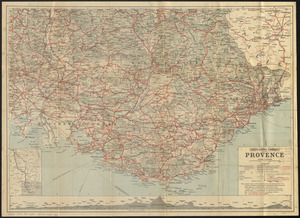
Cartes-guides Campbell Provence
42.
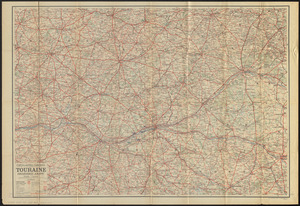
Cartes-guides Campbell Touraine, Orléanais, Anjou
43.
Center of New York, first city of the world
44.
Central part of Boston Elevated Railway system showing connections
45.
Central part of Boston Elevated Railway system showing connections 1903
46.
Central part of Boston Elevated Railway system showing connections 1904
47.
Charles River : carries shown by red lines
48.
Charles River Basin contour map of lower basin from surveys and soundings made in Aug. and Sept. 1902 for Committee on Charles...
49.
Charles River Basin contour map of upper basin from surveys and soundings
50.
Charles River, Boston Harbor, and the proposed Charles River basin : prepared to accompany report made to Henry L. Higginson,...
51.
A chart of the gulf stream
52.
[Chiapas]
53.
Chickamauga and Chattanooga National Military Park and approaches
54.
Chūseki keishi chizu
55.
City of Boston Granary Burying Ground : Boston proper
56.
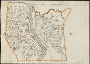
City of Lawrence
57.
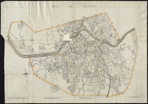
City of Lowell
58.
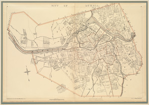
City of Lowell
59.
Coast chart no. 186 : Choctawhatchee Inlet to Pensacola Entrance, West Florida : report of Navy Yard Site Commission, Gulf of...
60.
Cobb's latest map of the Rosebud Reservation, South Dakota, to be opened for settlement Aug. 8, 1904
‹ Prev
Next ›
1
2
3
4
5
6
7
…
19
20


![[Chiapas]](https://bpldcassets.blob.core.windows.net/derivatives/images/commonwealth:4m90fj278/image_thumbnail_300.jpg)