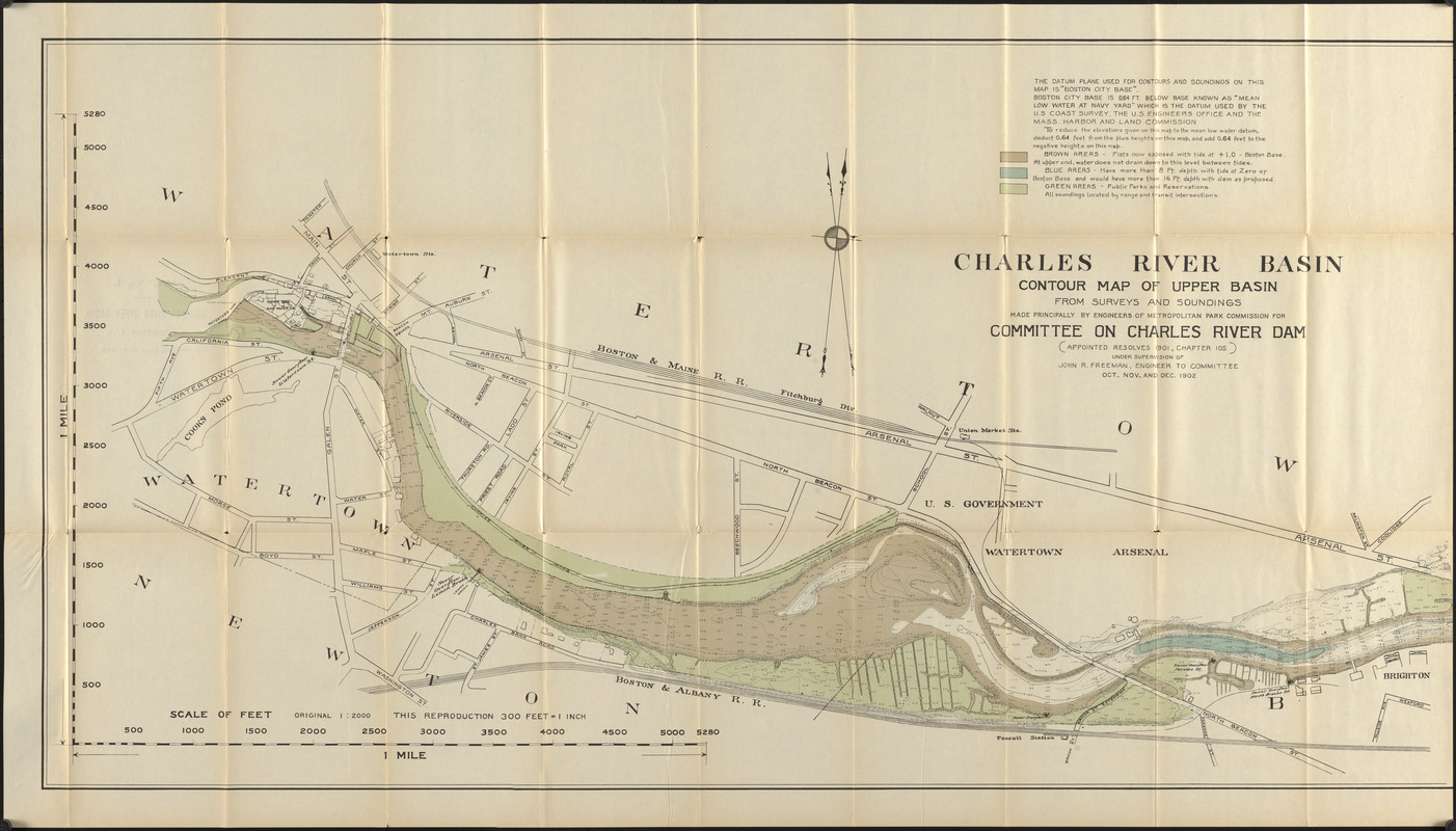
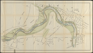
Charles River Basin contour map of upper basin from surveys and soundings

Item Information
- Title:
- Charles River Basin contour map of upper basin from surveys and soundings
- Title (alt.):
-
Charles River upper basin, section 1 : Watertown Dam to Arsenal St.
Charles River upper basin, section 2 : Arsenal St. to Cambridge-River St.
- Cartographer:
- Massachusetts. Metropolitan Park Commission
- Contributor:
- Massachusetts. Committee on Charles River Dam
- Name on Item:
-
made principally by engineers of Metropolitan Park Commission for Committee on Charles River Dam (appointed resolves 1901, chapter 105) under supervision of John R. Freeman, engineer to committee
- Date:
-
1903
- Format:
-
Maps/Atlases
- Location:
-
Boston Public Library
Central Library in Copley Square - Collection (local):
-
Boston Public Library Collection
- Subjects:
-
Charles River Dam (Mass.)--Maps
Charles River (Mass.)--Maps
River engineering--Massachusetts--Charles River--Maps
- Places:
-
MassachusettsCharles (river)
- Extent:
- 1 map on 2 sheets : color ; 53 x 197 cm, on sheets 59 x 103 cm
- Terms of Use:
-
No known copyright restrictions.
No known restrictions on use.
- Publisher:
-
Massachusetts :
Committee on Charles River Dam
- Scale:
-
Scale 1:3,600
- Language:
-
English
- Catalog Record:
-
http://bpl.bibliocommons.com/item/show/3652846075
- Notes:
-
In Report of the Committee on Charles River Dam appointed under resolves of 1901, chapter 105, to consider the advisability and feasibility of building a dam across the Charles River at or near Craigie bridge.
Depths shown by soundings and isolines.
- Identifier:
-
06_01_017379
06_01_017380
- Call #:
-
M3/CRD/03.1
- Barcode:
-
mq6319167


