Toggle navigation
LMEC Home
Exhibitions
Georeferencing
Tools for Teachers
Collections
My Favorites
Sign Up / Log In
Search
Search the map portal
Map Collection
Map Collection
Map Sets
Search
Search
Search for
Search In
All Fields
Creator
Title
Subject
Place
Search All Digital Collections
Advanced Search
160 Results
My Search
Start Over
1860
Remove constraint 1860
Filter your Search
Place
North and Central America
97
United States
77
Europe
21
Canada
14
Boston
12
Suffolk (county)
12
New York
7
Massachusetts
6
more
Place
»
Topic
Boston (Mass.)--Maps
11
New England--Maps
6
United States--Maps
6
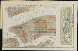
Canada--Boundaries--United States--Maps
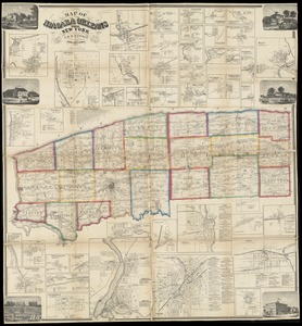
5
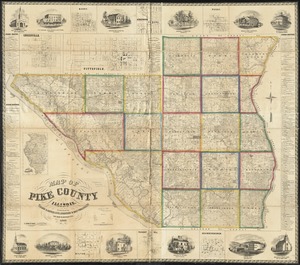
United States--Boundaries--Canada--Maps
5
Southern States--Maps
4
Switzerland--Maps
4
United States--History--Civil War, 1861-1865--Maps
4
more
Topic
»
Date
Date range begin
–
Date range end
Current results range from
1702
to
1932
View distribution
Creator
Bartholomew, J. G. (John George), 1860-1920
10
Moore, John Bassett, 1860-1947
8
United States. Congress (53rd, 2nd session : 1893-1894). House
8
E.P. Dutton (Firm)
6
United States. Hydrographic Office
6
Boston (Mass.). Engineering Dept
4
J.M. Dent & Sons
4
United States Coast Survey
4
more
Creator
»
Format
Maps/Atlases
157
Manuscripts
6
Prints
2
Drawings/Illustrations
1
Posters
1
Georeferenced
Yes
24
No
136
Collection
Norman B. Leventhal Map Center Collection
155
Boston and New England Maps
31
Urban Maps
25
Maritime Charts and Atlases
15
American Revolutionary War-Era Maps
2
Mapping Boston Collection
2
American Antiquarian Society Collection
1
Lucius Beebe Memorial Library Historic Maps
1
more
Collection
»
Available to use
No known restrictions
152
Creative Commons license
4
Search Constraints
Sort by date (asc)
relevance
title
date (asc)
date (desc)
Number of results to display per page
20 per page
10
per page
20
per page
50
per page
100
per page
View results as:
grid view
map view
Search Results
41.
Eclipse Harbor, Labrador
42.
The estate of the Brookline Land Company : June 20, 1860
43.
From Monomoy and Nantucket Shoals to Muskeget Channel, Mass
44.
From Muskeget Channel to Buzzard's Bay and entrance to Vineyard Sound, Mass
45.
From Muskeget Channel to Buzzard's Bay and entrance to Vineyard Sound, Mass
46.
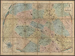
Galignani's plan of Paris and environs
47.
[Het ko]ningrijk [d]er Nederlanden
48.
Hyde Park & Fairmount : in Dorchester & Milton, Norfolk Co
49.
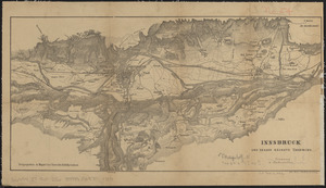
Innsbruck und dessen nächste umgebung
50.
Johnson's new rail road & county copper plate map of the Southern States from the latest and best information
51.
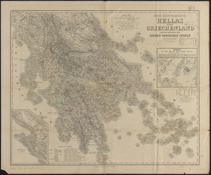
Das königreich Hellas oder Griechenland und die Republik der Sieben Ionischen Inseln (Ephtánisos)
52.
Map of Boston and the country adjacent from actual surveys
53.
Map of Cambria Co., Penna
54.
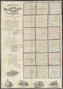
Map of De Kalb County, Illinois
55.
Map of Italy and Switzerland
56.
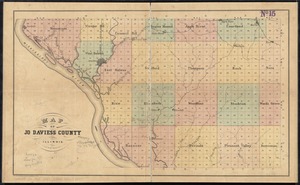
Map of Jo Daviess County, Illinois
57.
Map of New York City
58.
Map of Niagara and Orleans Counties, New York
59.
Map of Pike County, Illinois
60.
Map of the city & county of New York ; Upper part of the city and county of New York on a reduced scale
‹ Prev
Next ›
1
2
3
4
5
6
7
8


![[Het ko]ningrijk [d]er Nederlanden](https://bpldcassets.blob.core.windows.net/derivatives/images/commonwealth:0z709589n/image_thumbnail_300.jpg)