Toggle navigation
LMEC Home
Exhibitions
Georeferencing
Tools for Teachers
Collections
My Favorites
Sign Up / Log In
Search
Search the map portal
Map Collection
Map Collection
Map Sets
Search
Search
Search for
Search In
All Fields
Creator
Title
Subject
Place
Search All Digital Collections
Advanced Search
248 Results
My Search
Start Over
Date
1845
to
1849
Remove constraint Date: <span class='from'>1845</span> to <span class='to'>1849</span>
Filter your Search
Place
North and Central America
137
United States
114
Massachusetts
53
Europe
43
Oceania
32
Suffolk (county)
22
Boston
20
New England
16
more
Place
»
Topic
United States Exploring Expedition (1838-1842)
16
New England--Maps
12
Boston (Mass.)--Maps
10
Massachusetts--Maps
10
Railroads--New England--Maps
10
United States--Maps
10
Railroads--Massachusetts--Maps
8
Railroads--New York (State)--Maps
7
more
Topic
»
Date
1845
to
1849
[remove]
248
Date range begin
–
Date range end
Current results range from
1770
to
1990
1845
to
1845
111
1846
to
1846
119
1847
to
1847
114
1848
to
1848
116
1849
to
1849
138
Creator
United States Exploring Expedition (1838-1842)
34
Wilkes, Charles, 1798-1877
31
Sherman & Smith
19
J. & C. Walker (Firm)
10
Great Britain. Hydrographic Office
7
Vidal, A. T. E. (Alexander Thomas Emeric), 1792-1863
7
Horsburgh, James
5
Wadsworth, Alexander, 1806-1898
5
more
Creator
»
Format
Maps/Atlases
244
Manuscripts
14
Prints
3
Books
1
Georeferenced
Yes
32
No
216
Collection
Norman B. Leventhal Map & Education Center Collection
221
Boston and New England Maps
62
Maritime Charts and Atlases
52
Urban Maps
50
American Revolutionary War-Era Maps
13
Library of Congress Collection
5
Robert E. Diefenbach Map Collection at Phillips Academy
5
Lucius Beebe Memorial Library Historic Maps
4
more
Collection
»
Available to use
No known restrictions
227
Creative Commons license
11
Search Constraints
Sort by relevance
relevance
title
date (asc)
date (desc)
Number of results to display per page
20 per page
10
per page
20
per page
50
per page
100
per page
View results as:
grid view
map view
Search Results
21.
Boston Harbour : from the survey of A.S. Wadsworth, Esq., U.S.N. and the chart of Des Barres
22.
Bradshaw's plan of Paris, and map of the environs
23.
Carl Jügel's post u. reise karte von Deutschland und den nachbar staaten, bis London, Paris, Montpellier, Florenz, Warschau,...
24.
Carta geografica general de la republica Mexicana
25.
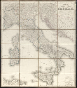
Carta statistica e postale dell'Italia
26.
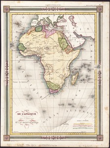
Carte de l'Afrique
27.
Carte de l'Amérique Septentrionale
28.
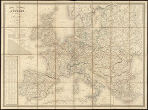
Carte itinéraire de l'Europe indiquant les limites actuelles des etats : dédiée au Roi
29.
Channel on the north side of Vanua Levu from Aramula Passage to Muthuata Island, Feejee Islands
30.
A chart exhibiting the normal course & velocity of the tidal current at ebb in Boston Harbor
31.
Chart of Long Pond ; Chart of Spot Pond
32.
Chart of the coast of China, from the Canton River, to the Yang Tze Keang
33.
A chart of the gulf stream
34.
Chart of the Viti Group or Feejee Islands
35.
China : sheet IV south coast from Chauan Bay to Port Matheson including the Pescadore Islands
36.
China : sheet V eastern coast from Port Matheson to Ragged Point
37.
China : sheet VIII eastern coast Hieshan Isles to the Yang-Tse-Kiang including the Chusan Islands
38.
Coast of North America from Point Judith to St. Antonio, (island of Cuba) including the Bahama Banks
39.
Colombie et Guyanes
40.
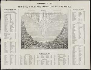
Comparative view of the principal rivers and mountains of the world
‹ Prev
Next ›
1
2
3
4
5
6
…
12
13