Toggle navigation
LMEC Home
Exhibitions
Georeferencing
Tools for Teachers
Collections
My Favorites
Sign Up / Log In
Search
Search the map portal
Map Collection
Map Collection
Map Sets
Search
Search
Search for
Search In
All Fields
Creator
Title
Subject
Place
Search All Digital Collections
Advanced Search
125 Results
My Search
Start Over
Date
1745
to
1749
Remove constraint Date: <span class='from'>1745</span> to <span class='to'>1749</span>
Filter your Search
Place
North and Central America
84
Canada
37
United States
31
Louisbourg
21
Africa
19
North America
16
Cape Verde
12
South America
9
more
Place
»
Topic
Manuscript maps--Early works to 1800
17
Louisbourg (N.S.)--Maps, Manuscript--Early works to 1800
14
Louisbourg (N.S.)--History--Siege, 1745--Maps, Manuscript--Early works to 1800
13
Military maps--Early works to 1800
7
Cape Verde--Maps--Early works to 1800
6
Military art and science--Nova Scotia--Louisbourg--Maps, Manuscript--Early works to 1800
6
North America--Maps--Early works to 1800
6
United States--History--King George’s War, 1744-1748--Maps, Manuscript--Early works to 1800
6
more
Topic
»
Date
1745
to
1749
[remove]
125
Date range begin
–
Date range end
Current results range from
1699
to
1800
1745
to
1745
58
1746
to
1746
48
1747
to
1747
68
1748
to
1748
40
1749
to
1749
48
Creator
Bastide, John Henry, approximately 1700-1770
15
Dumont de Montigny
14
George, III, King of Great Britain, 1738-1820
13
George, IV, King of Great Britain, 1762-1830
13
Royal United Services Institute for Defence and Security Studies
11
Amherst, Jeffery Amherst, Baron, 1717-1797
9
Durell, Philip, -1766
9
Bellin, Jacques Nicolas, 1703-1772
8
more
Creator
»
Format
Maps/Atlases
122
Manuscripts
32
Prints
2
Drawings/Illustrations
1
Georeferenced
Yes
3
No
122
Collection
American Revolutionary War-Era Maps
79
Norman B. Leventhal Map & Education Center Collection
49
British Library Collection
28
William L. Clements Library Collection
19
Newberry Library Collection
16
MacLean Collection Map Library
5
Maritime Charts and Atlases
4
Mapping Boston Collection
3
more
Collection
»
Available to use
No known restrictions
48
Creative Commons license
37
Search Constraints
Sort by relevance
relevance
title
date (asc)
date (desc)
Number of results to display per page
20 per page
10
per page
20
per page
50
per page
100
per page
View results as:
grid view
map view
Search Results
21.
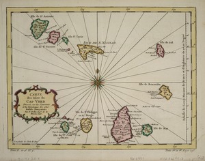
Carte des Isles du Cap Verd
22.
Carte du Cap Franc̨ois de Saint Domingue, de l'isle de Cuba, de la Jamaique avec le canal de Bahama, l'entrée du fleuve St....
23.
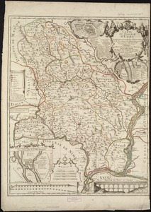
Carte du diocèse d'Uzès
24.
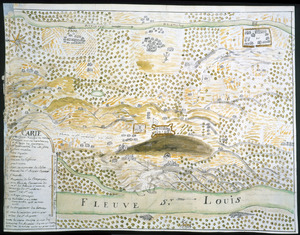
Carte du Fort Rozalie des Natches franc̦ois avec ses dependances et village des sauvages
25.
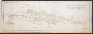
Carte du Lac Champlain depuis le Fort de Chambly Jusques au desus du Fort S.t Frederic, dans la Nouvelle France
26.
Carte du nouveau continent selon sa plus grande longueur diamètrale depuie la riv'. de la Plata jusqu'au delà du lac des...
27.
Carte du Pouldu avec ses environs et la côte de la mer : ou on y voit la disposition de nos batteries, et corps de garde, avec...
28.
Carte d'une partie du Nord Amerique dans la quelle se trouvent les isles et les provinces suivantes : l'Isle de la Terre-Neuve...
29.
A chart of Canada River : from ye island of Anticosty as far up as Quebeck, ye islands, locks, shoals, & soundings as they...
30.
A chart of the sea coast of New Foundland, New Scotland, New York, New Jersey, with Virginia and Maryland and New England
31.
A CHART of the South East Part of l'Isle Royal, or Cape Bretton taken from the best Surveys, and the Observations of the most...
32.
A chart of the western coast of Africa, from the Straits of Gibraltar to eleven degrees of north latitude : including the...
33.
Les Colonies des Européens en Amerique
34.
Concession des Chaoüachas appartenante cy devant a Mgr. le duc de Belleisle et associez
35.
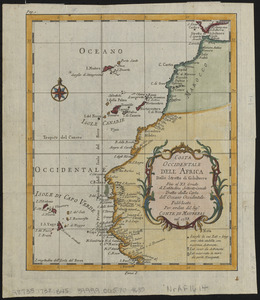
Costa occidentale dell' Africa dallo Stretto di Gibilterra fino al XI grado di latitudine settentrionale tratta dalla carta...
36.
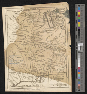
Cours du Mississipi et la Louisiane
37.
Cuba, ciudad capittal de la ysla del mismo nombre y su famoso puerto sittuado en la costa del sur de gra. ysla, los 20 grados y...
38.
Le Diocese de Limoges : divisé en ses dix huict Archipretré et les Gouvernemens de la Marche et du Limosin dans les quels il...
39.
Eiland van St. Filippus, of van Fuego, met zyn vuurberg = Ile de St. Philipe ou de Fuego avec son volcan
40.
[Entrance to the Harbour of S.t Johns Newfoundland]
‹ Prev
Next ›
1
2
3
4
5
6
7


![[Entrance to the Harbour of S.t Johns Newfoundland]](https://bpldcassets.blob.core.windows.net/derivatives/images/commonwealth:6108vv35z/image_thumbnail_300.jpg)