Toggle navigation
LMEC Home
Exhibitions
Georeferencing
Tools for Teachers
Collections
My Favorites
Sign Up / Log In
Search
Search the map portal
Map Collection
Map Collection
Map Sets
Search
Search
Search for
Search In
All Fields
Creator
Title
Subject
Place
Search All Digital Collections
Advanced Search
44 Results
My Search
Start Over
Date
1720
Remove constraint Date: <span class='single'>1720</span>
Filter your Search
Place
North and Central America
25
United States
12
North America
9
Europe
7
South America
7
New York
6
Maine
4
America
3
more
Place
»
Topic
North America--Maps--Early works to 1800
6
America--Maps--Early works to 1800
3
Manuscript maps--Early works to 1800
3
South America--Maps--Early works to 1800
3
Western Hemisphere--Maps--Early works to 1800
3
Casco Bay (Me.)--Maps--Early works to 1800
2
Connecticut--Maps, Manuscript--Early works to 1800
2
Louisiana--Maps--Early works to 1800
2
more
Topic
»
Date
1720
[remove]
44
Date range begin
–
Date range end
Current results range from
1699
to
1800
1720
to
1720
44
Creator
Moll, Herman, d. 1732
8
Homann, Johann Baptist, 1663-1724
5
Bowen, Emanuel, 1693 or 1694-1767
3
Ogilby, John, 1600-1676
3
Bowles, John, 1701-1779
2
Bowles, Thomas, d. 1767
2
Burghers, M.
2
Chatelain, Henri Abraham.
2
more
Creator
»
Format
Maps/Atlases
44
Manuscripts
6
Georeferenced
No
44
Collection
Norman B. Leventhal Map & Education Center Collection
28
American Revolutionary War-Era Maps
10
William L. Clements Library Collection
7
Boston and New England Maps
5
Ralph Finos Map Collection at Phillips Academy
3
British Library Collection
2
Mapping Boston Collection
2
Maritime Charts and Atlases
2
more
Collection
»
Available to use
No known restrictions
29
Creative Commons license
5
Search Constraints
Sort by relevance
relevance
title
date (asc)
date (desc)
Number of results to display per page
20 per page
10
per page
20
per page
50
per page
100
per page
View results as:
grid view
map view
Search Results
21.
A new map of Great Britain : according to the newest and most exact observations
22.
A new map of North America shewing its principal divisions, chief cities, townes, rivers, mountains &c
23.
A new map of the Baltick &c : shewing all the dominions about it with ye great or post roads and principal cross-roads
24.
A new map of the north parts of America claimed by France under ye names of Louisiana, Mississipi, Canada, and New France with...
25.
A new map of the north parts of America claimed by France under ye names of Louisiana, Mississipi, Canada, and New France with...
26.
A new map of the north parts of America claimed by France under ye names of Louisiana, Mississipi, Canada, and New France with...
27.
A new map of the terraqueous globe according to the latest discoveries and most general divisions of it into continents and oceans
28.
Nouvelle carte de l'Amerique : avec tous ses royaumes, etats, iles, ports, bayes et rivieres, dressée suivant les plus...
29.
Nova Anglia Septentrionali Americae implantata Anglorumque coloniis florentissima geographicè exhibita
30.
Nova tabula geographica complectens borealiorem Americæ partem : in qua exacte delineatæ sunt Canada sive Nova Francia, Nova...
31.
Part of modern Orange County
32.
Partie de la Novvelle Angleterre contenant les villes, les bourgs, et le commerce des habitans
33.
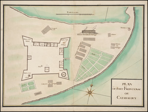
Plan du Fort Frontenac ou Cataracouy
34.
River valley with several foothills and swamp
35.
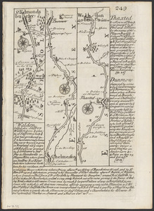
The road from London to Buckingham
36.
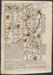
The roads from Chelmsford to St. Edmunds Bury
37.
Shinsen zouho Kyo oezu
38.
This map of South America, according to the newest and most exact observations
39.
To the Right Honourable, Charles Earl of Sunderland, and Baron Spencer of Wormleighton, one of Her Majesty's principal...
40.
Totius Americae descriptio nova
‹ Prev
Next ›
1
2
3