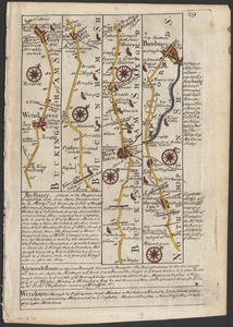
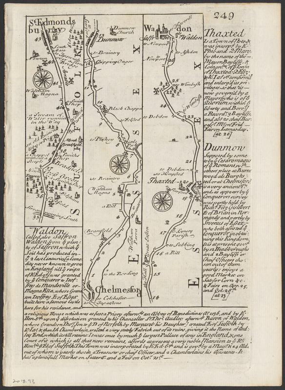
The roads from Chelmsford to St. Edmunds Bury
Item Information
- Title:
- The roads from Chelmsford to St. Edmunds Bury
- Cartographer:
- Ogilby, John, 1600-1676
- Engraver:
- Bowen, Emanuel, 1693 or 1694-1767
- Name on Item:
-
Mr. Ogilby ; By Ino. Owen ; By Eman. Bowen Engraver
- Date:
-
1720
- Format:
-
Maps/Atlases
- Location:
-
Phillips Academy
Archives and Special Collections - Collection (local):
-
Ralph Finos Map Collection
- Subjects:
-
Roads
- Places:
-
EnglandSuffolk (county)Bury Saint Edmunds
EnglandEssex (county)Chelmsford
EnglandEssex (county)Thaxted
EnglandEssex (county)Saffron Walden
- Extent:
- 3 maps on 1 sheet ; each 16 x 3 cm or smaller, sheet 20 x 15 cm
- Terms of Use:
-
We believe that this item has no known US copyright restrictions. Though not required, if you want to credit us as the source, please use the following statement, "From The Trustees of Phillips Academy." Doing so helps us track how our collection is used and helps justify freely releasing even more content in the future.
This work is in the public domain under a Creative Commons No Rights Reserved License (CC0).
- Publisher:
-
London :
Tho. Bowles
- Scale:
-
Scale not determined.
- Language:
-
English
- Notes:
-
Title supplied by cataloger.
Appeared in Britannia depicta or Ogilby improved, plate 249.
Part of a larger map that includes plate 247 and 248.
Map is on recto of leaf, on verso is A map of Kent, plate 250.
Statement of responsibility from title page of source atlas.
- Notes (date):
-
Date supplied by cataloger.
- Identifier:
-
2018_093