Toggle navigation
LMEC Home
Exhibitions
Georeferencing
Tools for Teachers
Collections
My Favorites
Sign Up / Log In
Search
Search the map portal
Map Collection
Map Collection
Map Sets
Search
Search
Search for
Search In
All Fields
Creator
Title
Subject
Place
Search All Digital Collections
Advanced Search
54 Results
My Search
Start Over
1924
Remove constraint 1924
Filter your Search
Place
North and Central America
41
United States
39
Massachusetts
8
Europe
7
France
7
Boston
6
Suffolk (county)
6
Asia
5
more
Place
»
Topic
Boston (Mass.)--Maps
4
Fire risk assessment
4
Insurance surveys
4
Cotton manufacture
2
Intrenchments--France--Verdun--Maps
2
Landowners--Massachusetts--Boston--Maps
2
Landowners--Massachusetts--Lynn--Maps
2
Landowners--Massachusetts--Nahant--Maps
2
more
Topic
»
Date
Date range begin
–
Date range end
Current results range from
1800
to
1932
View distribution
Creator
United States. Army. Engineer Reproduction Plant
6
France. Armée. Groupe de canevas de tir
5
United States. Army. Army, 2nd
5
Comey, Arthur C. (Arthur Coleman), 1886-1954
3
Geological Survey (U.S.)
3
Rand McNally and Company
3
Richards Map Company
3
Associated Factory Mutual Fire Insurance Companies
2
more
Creator
»
Format
Maps/Atlases
54
Georeferenced
No
54
Collection
Norman B. Leventhal Map & Education Center Collection
41
Boston and New England Maps
12
Urban Maps
11
American Textile History Museum Image Collection
4
Massachusetts Real Estate Atlases
3
David Judkins Weaver Papers
2
Lucius Beebe Memorial Library Historic Maps
2
Boston Redevelopment Authority Collection
1
more
Collection
»
Available to use
No known restrictions
45
Search Constraints
Sort by relevance
relevance
title
date (asc)
date (desc)
Number of results to display per page
20 per page
10
per page
20
per page
50
per page
100
per page
View results as:
grid view
map view
Search Results
21.
Official highway map of the state of Vermont
22.
Southern Railway system
23.
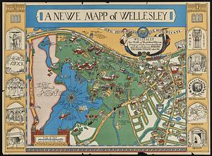
A newe mapp of Wellesley
24.
China
25.
Geologic map of Oklahoma
26.
Artarias karte der Russischen sozialistischen förderativen Sowjet-Republik (R.S.F.S.R.)
27.
Rand McNally standard map of Washington D.C.
28.
The Alaska Railroad
29.
Base map of Illinois
30.
[Chippewa] National Forest, Minnesota
31.
Kootenai National Forest, Montana
32.
Map of a part of the City of Nashua, New Hampshire
33.
Map of central Boston and Cambridge
34.
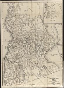
Map of the city of Fall River, Mass.
35.
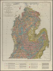
Map of the surface formations of the southern peninsula of Michigan
36.
Plan of land at Buzzards Bay, Mass., belonging to the N.E. Telephone & Telegraph Co.
37.
Rand McNally standard map of Toronto and environs
38.
Richards standard atlas of the city of Lynn and the towns of Swampscott, Saugus and Nahant, Massachusetts : from official...
39.
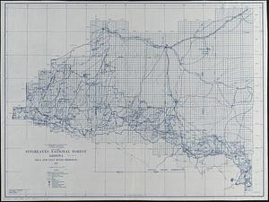
Sitgreaves National Forest, Arizona
40.
Zhongguo di zhi tu = General geological map of China : Peking-Tsinan Sheet
‹ Prev
Next ›
1
2
3


![[Chippewa] National Forest, Minnesota](https://bpldcassets.blob.core.windows.net/derivatives/images/commonwealth:th83pg40d/image_thumbnail_300.jpg)