Toggle navigation
LMEC Home
Exhibitions
Georeferencing
Tools for Teachers
Collections
My Favorites
Sign Up / Log In
Search
Search the map portal
Map Collection
Map Collection
Map Sets
Search
Search
Search for
Search In
All Fields
Creator
Title
Subject
Place
Search All Digital Collections
Advanced Search
69 Results
My Search
Start Over
1907
Remove constraint 1907
Filter your Search
Place
North and Central America
59
United States
53
Massachusetts
23
Boston
6
Essex (county)
6
Michigan
6
Suffolk (county)
6
Middlesex (county)
5
more
Place
»
Topic
United States--History--French and Indian War, 1754-1763--Maps, Manuscript--Early works to 1800
4
Beverly (Mass.)--Maps
3
Franco-Prussian War, 1870-1871
3
Landowners--Massachusetts--Beverly--Maps
3
Massachusetts--Maps
3
Nautical charts--Superior, Lake
3
Quincy (Mass.)--Maps
3
Agate Harbor (Mich.)--Maps
2
more
Topic
»
Date
Date range begin
–
Date range end
Current results range from
1756
to
1912
View distribution
Creator
Dougal, William H., 1822-1895
6
U.S. Lake Survey
6
Board of Harbor and Land Commissioners of Massachusetts
5
Henry, D. F. (Daniel Farrand), 1833-1907
5
Macomb, J. N. (John N.), 1810 or 1811-1889
5
Meade, George Gordon, 1815-1872
5
Raynolds, W. F. (William Franklin), 1820-1894
5
Wallace, J.
5
more
Creator
»
Format
Maps/Atlases
69
Manuscripts
5
Georeferenced
Yes
6
No
63
Collection
Norman B. Leventhal Map & Education Center Collection
54
Boston and New England Maps
12
American Revolutionary War-Era Maps
6
British Library Collection
4
Urban Maps
4
Lucius Beebe Memorial Library Historic Maps
3
Massachusetts Real Estate Atlases
3
Maritime Charts and Atlases
2
more
Collection
»
Available to use
No known restrictions
59
Creative Commons license
4
Search Constraints
Sort by relevance
relevance
title
date (asc)
date (desc)
Number of results to display per page
20 per page
10
per page
20
per page
50
per page
100
per page
View results as:
grid view
map view
Search Results
21.
Map of Massachusetts showing state highways laid out & petitioned for
22.
Muskingum County, Ohio
23.
A Map of the seat of the late war at Boston in the state of Massachusetts
24.
Central part of Boston Elevated Railway system showing connections
25.
Map of Manitoba, Saskatchewan and Alberta
26.
Linguistic families of American Indians north of Mexico
27.
Plan of boundary line between the Commonwealth of Massachusetts and the State of Connecticut : as located defined and marked by...
28.
Map of St. Louis city & county : prepared for City Plan Report of The Civic League showing proposed improvements
29.
Track chart U.S. dry dock Dewey : Solomons to Olongapo, December 28, 1905-July 10, 1906
30.
Map of Dorchester, Roxbury, and West Roxbury
31.
Map showing Indian reservations within the limits of the United States, 1906
32.
Preliminary chart of Eagle River, Lake Superior
33.
Tri-state trolley map showing Boston & Northern and Old Colony Street Railway Companies' systems and connecting lines
34.
Thunder Bay, Lake Huron
35.
Stoneham, Massachusetts
36.
Preliminary chart of Agate Harbor, Lake Superior
37.
Preliminary chart of Agate Harbor, Lake Superior
38.
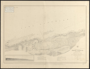
Preliminary chart of Eagle Harbor, Lake Superior : from surveys under the direction of the Topographical Bureau of the War...
39.
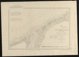
Preliminary chart of Ontonagon Harbor, Lake Superior : from surveys under the direction of the Topographical Bureau of the War...
40.
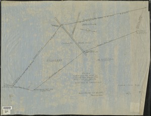
Plan showing the part of Stoneham which the petitioners desire to have annexed to Wakefield
‹ Prev
Next ›
1
2
3
4