Toggle navigation
LMEC Home
Exhibitions
Georeferencing
Tools for Teachers
Collections
My Favorites
Sign Up / Log In
Search
Search the map portal
Map Collection
Map Collection
Map Sets
Search
Search
Search for
Search In
All Fields
Creator
Title
Subject
Place
Search All Digital Collections
Advanced Search
933 Results
My Search
Start Over
More Like
commonwealth-oai:mp48x9931
Remove constraint More Like: commonwealth-oai:mp48x9931
Filter your Search
Place
North and Central America
905
United States
643
Canada
205
New York
191
Quebec
111
Pennsylvania
60
New Jersey
56
Nova Scotia
48
more
Place
»
Topic
United States--History--Revolution, 1775-1783--Maps
328
United States--History--French and Indian War, 1754-1763--Maps
149
Saint Lawrence River--Maps
43
Newport (R.I.)--Maps
27
New York (State)--Maps
24
Hudson River (N.Y. and N.J.)--Maps
21
Québec (Québec)--Maps
21
Louisbourg (N.S.)--Maps
20
more
Topic
»
Date
Date range begin
–
Date range end
Current results range from
1700
to
1899
View distribution
Creator
Rocque, Mary Ann
29
Holland, Samuel, 1728-1801
25
Montrésor, John, 1736-1799
25
Bellin, Jacques Nicolas, 1703-1772
24
Jefferys, Thomas, -1771
24
Clinton, Henry, Sir, 1738?-1795
19
Robert Sayer and John Bennett (Firm)
16
Hills, John, active 1777-1819
13
more
Creator
»
Format
Maps/Atlases
917
Drawings/Illustrations
11
Documents
5
Manuscripts
4
Prints
1
Georeferenced
Yes
2
No
931
Collection
American Revolutionary War-Era Maps
927
William L. Clements Library Collection
909
Norman B. Leventhal Map Center Collection
8
American Antiquarian Society Collection
7
Boston and New England Maps
5
Newberry Library Collection
3
Urban Maps
3
New-York Historical Society Collection
2
more
Collection
»
Available to use
No known restrictions
10
Creative Commons license
4
Search Constraints
Sort by relevance
relevance
title
date (asc)
date (desc)
Number of results to display per page
20 per page
10
per page
20
per page
50
per page
100
per page
View results as:
grid view
map view
Search Results
1.
Distances North River
2.
From Fishkill Creek to the Croton River
3.
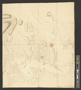
Part of the modern counties of Dutchess, Putnam, and Westchester
4.
Part of the "Oblong" in modern Putnam County
5.
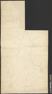
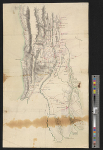
Admiral George Clinton's lands in the "Oblong"
6.
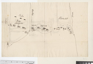
Upper Salem and part of the tounds [sic] joining it for two or three miles distance
7.
Valley of the Hudson River from Fishkill to Teller's Point
8.
Part of modern Westchester County
9.
Part of modern Westchester County
10.
Part of the modern counties of Manhattan, Westchester and Queens
11.
Part of the modern counties of Westchester and Bronx
12.
A plan of New York Island with the circumjacent country as far as Dobb's Ferry to the north, and White-Plains the the east;...
13.
Positions of the British troops between the Hudson River and the Bronx River at Valentine's Hill
14.
Region between Westchester Creek and the Bronx River
15.
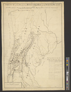
Sketch of the roads from Kings Bridge to the White Plains and parts ajacent shewing the encampment of his majestys forces under...
16.
Sketch of the roads from Kings Bridge to the White Plains and parts ajacent shewing the encampment of his majestys forces under...
17.
Part of the modern county of Fairfield : copied for the adjutant general
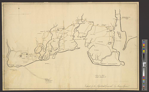
18.
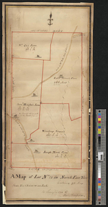
A map of lot no 24 in North East Town containing 911 acres : as surveyd in 1794 by Alexr. Thompson
19.
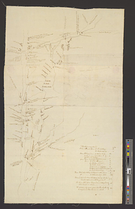
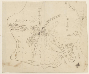
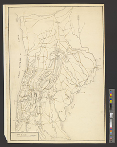
Discription [sic] of the roads about White Plains
20.
Part of modern Westchester County
‹ Prev
Next ›
1
2
3
4
5
…
46
47


![Upper Salem and part of the tounds [sic] joining it for two or three miles distance](https://bpldcassets.blob.core.windows.net/derivatives/metadata/commonwealth-oai:8k71sf77k/image_thumbnail_300.jpg)


![Discription [sic] of the roads about White Plains](https://bpldcassets.blob.core.windows.net/derivatives/metadata/commonwealth-oai:w3767301r/image_thumbnail_300.jpg)