Toggle navigation
LMEC Home
Exhibitions
Georeferencing
Tools for Teachers
Collections
My Favorites
Sign Up / Log In
Search
Search the map portal
Map Collection
Map Collection
Map Sets
Search
Search
Search for
Search In
All Fields
Creator
Title
Subject
Place
Search All Digital Collections
Advanced Search
973 Results
My Search
Start Over
More Like
commonwealth-oai:b5648r828
Remove constraint More Like: commonwealth-oai:b5648r828
Filter your Search
Place
North and Central America
945
United States
684
New York
229
Canada
206
Quebec
112
Pennsylvania
61
New Jersey
60
Massachusetts
49
more
Place
»
Topic
United States--History--Revolution, 1775-1783--Maps
330
United States--History--French and Indian War, 1754-1763--Maps
149
New York (N.Y.)--Maps
48
Saint Lawrence River--Maps
43
Manhattan (New York, N.Y.)--Maps
30
Newport (R.I.)--Maps
27
New York (State)--Maps
26
Hudson River (N.Y. and N.J.)--Maps
22
more
Topic
»
Date
Date range begin
–
Date range end
Current results range from
1700
to
1932
View distribution
Creator
Rocque, Mary Ann
29
Holland, Samuel, 1728-1801
26
Jefferys, Thomas, -1771
25
Montrésor, John, 1736-1799
25
Bellin, Jacques Nicolas, 1703-1772
24
Clinton, Henry, Sir, 1738?-1795
19
Robert Sayer and John Bennett (Firm)
16
Kitchin, Thomas, 1719-1784
14
more
Creator
»
Format
Maps/Atlases
957
Drawings/Illustrations
11
Manuscripts
6
Documents
5
Prints
1
Georeferenced
Yes
11
No
962
Collection
American Revolutionary War-Era Maps
936
William L. Clements Library Collection
909
Norman B. Leventhal Map & Education Center Collection
38
Urban Maps
25
American Antiquarian Society Collection
11
Boston and New England Maps
5
New-York Historical Society Collection
4
MacLean Collection Map Library
3
more
Collection
»
Available to use
No known restrictions
42
Creative Commons license
5
Search Constraints
Sort by relevance
relevance
title
date (asc)
date (desc)
Number of results to display per page
20 per page
10
per page
20
per page
50
per page
100
per page
View results as:
grid view
map view
Search Results
681.
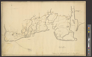
Part of modern Rockingham County
682.
Part of modern Rockingham County (N.H.) and Essex County (Mass.)
683.
Part of modern Westchester County
684.
Part of modern Westmoreland County
685.
Part of the Anticosti Island; Mingan Island; Mignan Harbor
686.
Part of the modern counties of Bergen, Passaic, and Sussex, New Jersey
687.
Part of the modern counties of Oconee, Pickens, Anderson, and Greenville
688.
Part of the modern counties of Philadelphia, Bucks, Chester, Montgomery, Lehigh, Northampton, Lancaster, and Lebanon
689.
Part of the modern counties of Philadelphia, Bucks, Montgomery, Delaware, Chester, and Lancaster in Pennsylvania; New Castle in...
690.
Part of the modern county of Fairfield : copied for the adjutant general
691.
Part of the "Oblong" in modern Putnam County
692.
Part of the Richelieu River showing Fort de St. Ieant
693.
Part of the Richelieu River showing Isle aux Noix
694.
Part of the southwestern shore of Long Island
695.
Part of the state of Pennsylvania : to the honble. Josiah Harmar esqr. brigdr. genl. & lt. col. commdg. 1st U.S. Regt.
696.
Partie occidentale de la Nouvelle France ou Canada
697.
Partie occidentale du Canada contenant les cinq Grands Lacs, avec les pays circonvoisons
698.
Partie occidentale du Canada contenant les cinqs grands lac [sic], avec les pays criconvoisins [sic]
699.
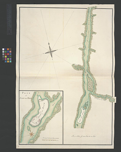
Penobscot Bay
700.
Pensacola
‹ Prev
Next ›
1
2
…
31
32
33
34
35
36
37
38
39
…
48
49


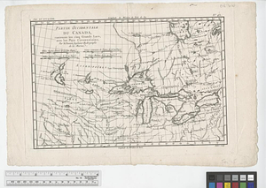
![Partie occidentale du Canada contenant les cinqs grands lac [sic], avec les pays criconvoisins [sic]](https://bpldcassets.blob.core.windows.net/derivatives/metadata/commonwealth-oai:tx31vg299/image_thumbnail_300.jpg)