Toggle navigation
LMEC Home
Exhibitions
Georeferencing
Tools for Teachers
Collections
My Favorites
Sign Up / Log In
Search
Search the map portal
Map Collection
Map Collection
Map Sets
Search
Search
Search for
Search In
All Fields
Creator
Title
Subject
Place
Search All Digital Collections
Advanced Search
1007 Results
My Search
Start Over
More Like
commonwealth-oai:2b88vb28r
Remove constraint More Like: commonwealth-oai:2b88vb28r
Filter your Search
Place
North and Central America
977
United States
718
Canada
209
New York
200
Quebec
112
Pennsylvania
90
Virginia
73
New Jersey
62
more
Place
»
Topic
United States--History--Revolution, 1775-1783--Maps
306
United States--History--French and Indian War, 1754-1763--Maps
162
Pennsylvania--Maps
50
Virginia--Maps
47
Saint Lawrence River--Maps
43
Maryland--Maps
37
New York (State)--Maps
33
Newport (R.I.)--Maps
27
more
Topic
»
Date
Date range begin
–
Date range end
Current results range from
1700
to
1931
View distribution
Creator
Rocque, Mary Ann
29
Jefferys, Thomas, -1771
27
Bellin, Jacques Nicolas, 1703-1772
26
Holland, Samuel, 1728-1801
25
Montrésor, John, 1736-1799
25
Clinton, Henry, Sir, 1738?-1795
19
Robert Sayer and John Bennett (Firm)
15
Hills, John, active 1777-1819
13
more
Creator
»
Format
Maps/Atlases
991
Drawings/Illustrations
11
Documents
5
Manuscripts
1
Prints
1
Georeferenced
Yes
28
No
979
Collection
American Revolutionary War-Era Maps
939
William L. Clements Library Collection
909
Norman B. Leventhal Map & Education Center Collection
76
Maps from AAS
14
Richard H. Brown Revolutionary War Map Collection at Mount Vernon
4
MacLean Collection Map Library
3
Urban Maps
2
New-York Historical Society Collection
1
Available to use
No known restrictions
77
Creative Commons license
4
Search Constraints
Sort by relevance
relevance
title
date (asc)
date (desc)
Number of results to display per page
20 per page
10
per page
20
per page
50
per page
100
per page
View results as:
grid view
map view
Search Results
221.
Map of Virginia, West Virginia and Ohio : showing Norfolk and Western Railway : main line branches and connections
222.
Middle Virginia and North Carolina
223.
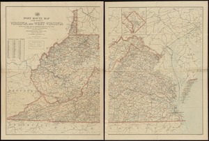
Post route map of the states of Virginia and West Virginia showing post offices with the intermediate distances and mail routes...
224.
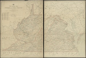
Post route map of the states of Virginia and West Virginia showing post offices with the intermediate distances on mail routes...
225.
Post route map of the states of Virginia and West Virginia showing post offices with the intermediate distances on mail routes...
226.
State of Virginia : stations and transmission lines used in public service in 1925 and gaging stations
227.
State of Virginia coal fields and producing districts, September 1919
228.
The State of Virginia form the best authorities. 1799
229.
The state of Virginia from the best authorities
230.
The State of Virginia from the best authorities. 1796
231.
The tourist's pocket map of the state of Virginia : exhibiting its internal improvements, roads, distances &c
232.
Virginia
233.
Virginia
234.
Carte de la Nouvelle Angleterre, Nouvelle Yorck, et Pensilvanie. : Pour servir à l'Histoire générale des voyages
235.
Clemens' map of Pennsylvania
236.
An Exact map of New England, New York, Pensylvania & New Jersey, : from the latest surveys
237.
Geological and topographical map of the anthracite fields of Pennsylvania : constructed from original explorations and surveys
238.
Geological map of south-west Pennsylvania, with special reference to the Pittsburgh coal bed
239.
Grundriss von Philadelphia der hauptstadt in Pensylvanien und umliegenden Gegend
240.
An historical map of Pennsylvania : showing the Indian names of streams and villages, and paths of travel : the sites of old...
‹ Prev
Next ›
1
2
…
8
9
10
11
12
13
14
15
16
…
50
51