Toggle navigation
LMEC Home
Exhibitions
Georeferencing
Tools for Teachers
Collections
My Favorites
Sign Up / Log In
Search
Search the map portal
Map Collection
Map Collection
Map Sets
Search
Search
Search for
Search In
All Fields
Creator
Title
Subject
Place
Search All Digital Collections
Advanced Search
995 Results
My Search
Start Over
More Like
commonwealth-oai:0g358d519
Remove constraint More Like: commonwealth-oai:0g358d519
Filter your Search
Place
North and Central America
958
United States
638
Canada
209
New York
192
Quebec
111
North America
96
Pennsylvania
60
New Jersey
54
more
Place
»
Topic
United States--History--Revolution, 1775-1783--Maps
306
United States--History--French and Indian War, 1754-1763--Maps
149
North America--Maps
85
Saint Lawrence River--Maps
46
Newport (R.I.)--Maps
27
New York (State)--Maps
24
United States--Maps
23
Hudson River (N.Y. and N.J.)--Maps
21
more
Topic
»
Date
Date range begin
–
Date range end
Current results range from
1700
to
1945
View distribution
Creator
Rocque, Mary Ann
29
Bellin, Jacques Nicolas, 1703-1772
25
Holland, Samuel, 1728-1801
25
Jefferys, Thomas, -1771
25
Montrésor, John, 1736-1799
25
Clinton, Henry, Sir, 1738?-1795
19
Robert Sayer and John Bennett (Firm)
16
Kitchin, Thomas, 1719-1784
14
more
Creator
»
Format
Maps/Atlases
979
Drawings/Illustrations
11
Documents
5
Prints
1
Georeferenced
Yes
14
No
981
Collection
American Revolutionary War-Era Maps
942
William L. Clements Library Collection
909
Norman B. Leventhal Map & Education Center Collection
53
Maps from AAS
17
New York Public Library Collection
9
MacLean Collection Map Library
6
Richard H. Brown Revolutionary War Map Collection at Mount Vernon
1
Available to use
No known restrictions
53
Creative Commons license
11
Search Constraints
Sort by relevance
relevance
title
date (asc)
date (desc)
Number of results to display per page
20 per page
10
per page
20
per page
50
per page
100
per page
View results as:
grid view
map view
Search Results
341.
A map of lot no. 4 in the Hardenbergh Patent : surveyed and run into lots AD 1788 at the request of John R. Livingston esqr.
342.
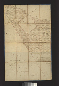
A map of lot no 4 in the [Ha]rdenbergh Patent
343.
A Map of lot number four In The Division of Macomb's purchase
344.
A map of New England, and Nova Scotia; with part of New York, Canada, and New Britain & the adjacent islands of New Found Land...
345.
Map of New York I. with the adjacent rocks and other remarkable parts of Hell-Gate
346.
A map of New York showing counties, manors, townships, and estates, ca. 1778
347.
A map of New York showing counties, manors, townships, and estates, ca. 1778
348.
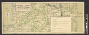
Map of Niagara River or streights between the lakes Erie and Ontario with the islands, falls, and rapids therein, as also the...
349.
Map of North River from Stoney Point to Peeks Kill
350.
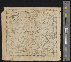
A map of part of Pennsylvania & Maryland intended to shew, at one view, the several places ...
351.
A map of part of West Florida done under the direction of the honourable John Stuart esqr: & by him humbly inscribed to his...
352.
A map of Pensylvania, with part of the adjacent states, from the latest surveys
353.
A map of Philadelphia and parts adjacent
354.
Map of Putnam
355.
A map of that part of Pensylvania now the principle seat of war in America wherein may be seen the situation of Philadelphia,...
356.
Map of the area between Fort Loudon, Tennessee, and Kaskaskia, Illinois
357.
A map of the back settlements
358.
A map of the British and French settlements in North America
359.
Map of the British landings at Louisbourg
360.
Map of the coast of Cape Breton from Fort William to Louisbourg
‹ Prev
Next ›
1
2
…
14
15
16
17
18
19
20
21
22
…
49
50
![A map of lot no 4 in the [Ha]rdenbergh Patent](https://bpldcassets.blob.core.windows.net/derivatives/metadata/commonwealth-oai:zs262628v/image_thumbnail_300.jpg)