Toggle navigation
LMEC Home
Exhibitions
Georeferencing
Tools for Teachers
Collections
My Favorites
Sign Up / Log In
Search
Search the map portal
Map Collection
Map Collection
Map Sets
Search
Search
Search for
Search In
All Fields
Creator
Title
Subject
Place
Search All Digital Collections
Advanced Search
322 Results
My Search
Start Over
More Like
commonwealth:z603vr88s
Remove constraint More Like: commonwealth:z603vr88s
Filter your Search
Place
North and Central America
249
United States
191
Suffolk (county)
35
Boston
33
New York
33
North America
33
Canada
32
Charleston (county)
12
more
Place
»
Topic
United States--History--Revolution, 1775-1783--Maps--Early works to 1800
36
North America--Maps--Early works to 1800
20
Boston (Mass.)--History--Revolution, 1775-1783--Maps--Early works to 1800
18
United States--Maps--Early works to 1800
13
Gibraltar--History--Siege, 1779-1783--Maps--Early works to 1800
10
Vues d'optique
10
New England--Maps--Early works to 1800
9
New York (N.Y.)--Pictorial works--Early works to 1800
9
more
Topic
»
Date
Date range begin
–
Date range end
Current results range from
1740
to
1799
View distribution
Creator
Faden, William, 1749-1836
36
Jefferys, Thomas, -1771
30
Le Rouge, Georges-Louis
24
Des Barres, Joseph F. W. (Joseph Frederick Wallet), 1722-1824
21
Sayer, Robert, 1725-1794
19
Korn, Christoph Heinrich, 1726-1783
11
Raspe, Gabriel Nicolaus, 1712-1785
11
Robert Sayer and John Bennett (Firm)
10
more
Creator
»
Format
Maps/Atlases
279
Prints
32
Manuscripts
23
Drawings/Illustrations
9
Books
2
Georeferenced
Yes
13
No
309
Collection
American Revolutionary War-Era Maps
321
Richard H. Brown Revolutionary War Map Collection at Mount Vernon
293
Norman B. Leventhal Map & Education Center Collection
16
Boston and New England Maps
8
Urban Maps
4
Harvard Map Collection
3
New York Public Library Collection
3
New-York Historical Society Collection
3
more
Collection
»
Available to use
Creative Commons license
301
No known restrictions
19
Search Constraints
Sort by relevance
relevance
title
date (asc)
date (desc)
Number of results to display per page
50 per page
10
per page
20
per page
50
per page
100
per page
View results as:
grid view
map view
Search Results
251.
Port de Rhode Island et Narraganset Baye : publié à la requête du Vicomte Howe par le Chevalier des Barres ; traduit de...
252.
Port de St. Augustin -- Port de la Providence -- La Havane dans l'isle de Cuba -- Baye de Sn. Iago dans l'isle de Cuba -- Port...
253.
Ports de la Nouvelle York et de Pertamboy -- Plan de la ville et du port de Charles Town dans la Caroline Méridionale -- I. de...
254.
Position der Koenigl;Grosbrittanischen und derer vereinigten provinzial armée in New York und dem Jerseys in Nord America im...
255.
Position of the detachment under Lieut. Col. Baum, at Walmscock near Bennington shewing the attacks of the enemy on the 16th...
256.
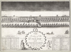
The position of the English and French fleets on the 12th of April 1782 at 10 oclock in the morning
257.
La premiere representation de les X batteries flottantes
258.
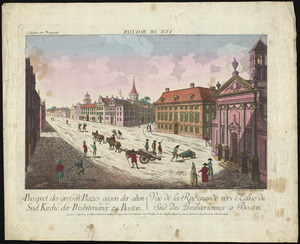
Prospect der grossen plazes gegn der alten Sud Kirche der Presbiterianer zu Boston = : Vuë de la Rue grande vers l'Eglise du...
259.
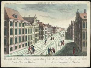
Prospect der König Strasse gegen das land thor zu Boston = : Vuë de la Rue du Roi vers la porte de la campagne a Boston
260.
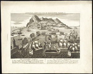
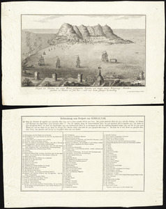
Prospect von Gibraltar mit seinen werken, umliegenden gegenden und iezigen neuern belagerungs anstalten : gezeichnet vor...
261.
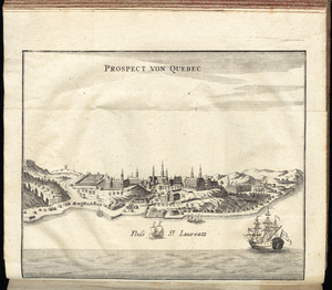
Prospect von Quebec
262.
A prospective view of the battle fought near Lake George, on the 8th of Sepr. 1755, between 2000 English, with 250 Mohawks,...
263.
Province de New-Jersey divisée en est et ouest nomée vulgairement les Jerseys
264.
The province of New Jersey, divided into east and west, commonly called the Jerseys
265.
Rade et port de Plaisance -- Le Port d'Anapolis dans l'Acadie -- Port de Boston dans la Nouvlle. Angleterre
266.
Reddition de l'armée Angloises commandée par Mylord Comte de Cornwallis aux armees combinées des Etats Unis de l'Amerique et...
267.
Relation von der vergeblichen belagrung der haupt vestung Gibraltar : anno 1782 von 13 bis 17 sbre
268.
Remarques sur la navigation de terre-neuve à New-York afin d'eviter les courrants et les bas-fonds au sud de Nantuckett et du...
269.
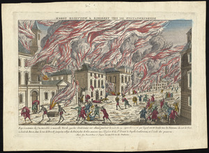
Représentation du feu terrible à Nouvelle Yorck, que les Américains ont allumé pendant la nuit du 19 Septembre 1776 ... et...
270.
A representation, of the sea fight, on the 5th of Sepr. 1781, between Rear Admiral Graves and the Count de Grasse
271.
Schauplatz des Kriegs zwischen Engelland und seinen Collonien in America
272.
Schauplatz des Kriegs zwischen Engelland und seinen Collonien in America
273.
The seat of action, between the British and American forces : or an authentic plan of the western part of Long Island, with the...
274.
The seat of war in New England, by an American volunteer : with the marches of the several corps sent by the Colonies towards...
275.
Sketch of part of the island of Ste. Lucie : computed at about 2500 feet to 1 inch
276.
Sketch of the action at Osburns, April 27th. 1781
277.
A sketch of the action between the British forces and the American provincials, on the heights of the peninsula of Charlestown,...
278.
A sketch of the battle near Camden in South Carolina, 16 Augst. 1780
279.
Sketch of the battle of Hobkirks Hill, near Camden, on the 25th April 1781
280.
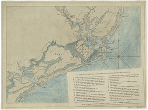
A sketch of the environs of Charlestown in South Carolina
281.
A sketch of the environs of Charlestown in South Carolina
282.
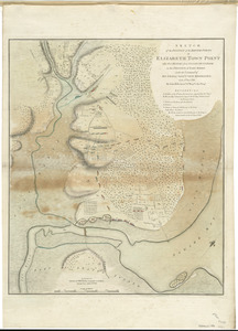
Sketch of the position of the British forces at Elizabeth Town Point after their return from Connecticut Farm, in the province...
283.
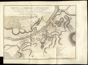
Sketch of the skirmish at Petersburg, between the Royal Army under the command of Major Genl. Phillips, and the American Army...
284.
Sketch of the surprise of German Town by the American forces commanded by General Washington October 4th 1777
285.
Skirmish at Richmond Jan. 5th. 1781
286.
A south east view of the city of New York, in North America = Vue de sud est de la ville de New York, dans l'Amerique...
287.
A south west view of the city of New York, in North America = Vue de sud ouest de la ville de New York, dans l'Amerique...
288.
Ste. Lucie : d'après les plans levés par les Anglois lors qu'ils le possedoient
289.
Surprize of rebels at Hancock's House
290.
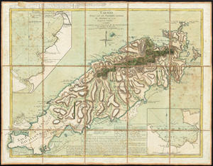
Tabago
291.
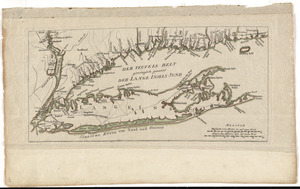
Der Teufels Belt gemeiniglich genannt der Lange Insels Sund
292.
[The burnt ruins of Charlestown from across the Charles River]
293.
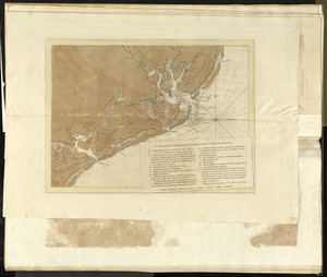
[The coasts, rivers and inlets of the province of Georgia]
294.
The theatre of war in North America, with the roads and a table of the distances
295.
Theatrum belli in America Septentrionali
296.
Theodolite's pattern, shewing the provinces in North America which were in the respective possessions of England, France &...
297.
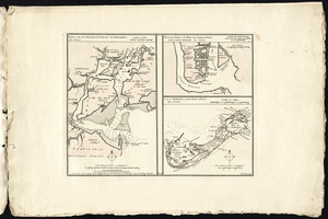
[Three views of South Carolina]
298.
To His Excellency Genl. Washington, Commander in Chief of the armies of the United States of America : this plan of the...
299.
To His Excellency Sr. Henry Moore, Bart., captain general and governour in chief in & over the province of New York & the...
300.
To the citizens of Philadelphia this plan of the city and its environs : is respectfully dedicated by the editors
‹ Prev
Next ›
1
2
3
4
5
6
7


![[The burnt ruins of Charlestown from across the Charles River]](https://bpldcassets.blob.core.windows.net/derivatives/images/commonwealth:dz010v71m/image_thumbnail_300.jpg)
![[The coasts, rivers and inlets of the province of Georgia]](https://bpldcassets.blob.core.windows.net/derivatives/images/commonwealth:z603vv37x/image_thumbnail_300.jpg)


![[Three views of South Carolina]](https://bpldcassets.blob.core.windows.net/derivatives/images/commonwealth:dz010v13q/image_thumbnail_300.jpg)